
Length: ~ 12 km round trip (~6 km one way if you are shuttling by car), 2-3 hours
Trail conditions: Gravel/rocky path and a wooden boardwalk, some steep sections as you ascend out of the valley
Difficulty: Moderate
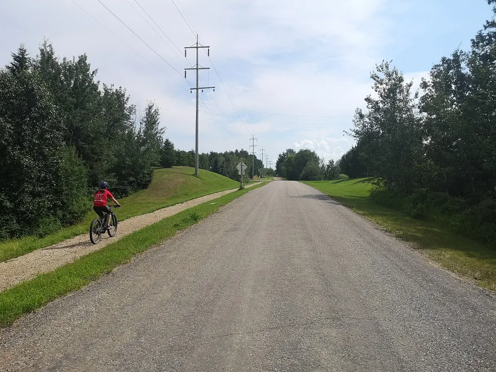
Bikes: Allowed
Dogs: Allowed on-leash
Parking: Prospector’s Point Parking Lot
Bike, walk, run or horseback ride along these country trails
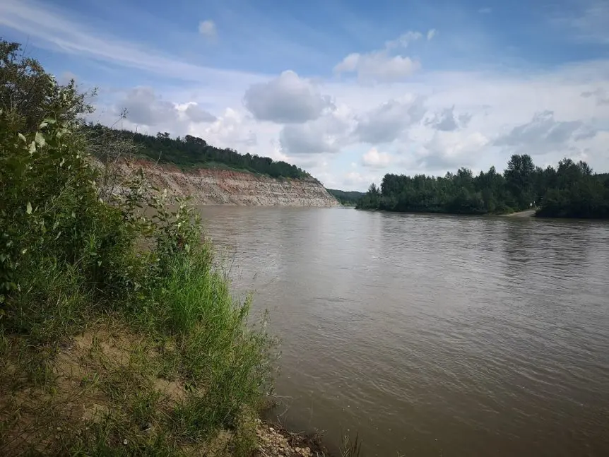
If you’re in search of a peaceful hike not too far from the city, you’re in luck—the Devonian Trail in Parkland County offers river valley views, country roads and blissful boardwalks. This in-and-out trail begins at Prospector’s Point across the river from Devon’s Voyageur Park, and ends at the University of Alberta Botanical Gardens (formerly known as the Devonian gardens—hence ‘Devonian’ trail!)
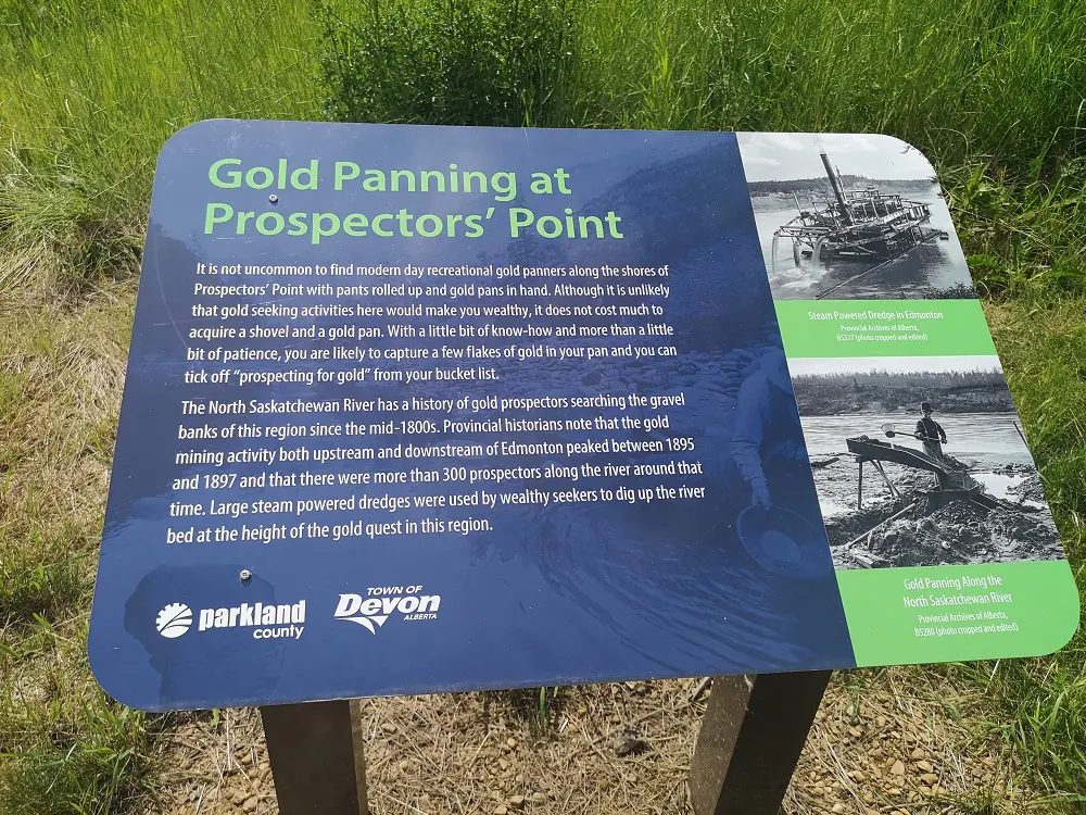
History of gold panning in the area
Named for those who used the area to pan for gold, Prospector’s Point is a great place to relax, fish and take in the views. The trail heading up from Prospector’s Point is on land once owned by Mary Louise Imrie, the first female architect in Edmonton and one of the first Canadian women to establish her own architecture firm. Inspired by Alberta’s landscapes, she bequeathed the land to the Alberta Sport, Recreation, Parks and Wildlife foundation in 1988. Her biggest hope was that the people of Alberta could enjoy this beautiful land, and the Devonian Trail is one of the ways you can do that!
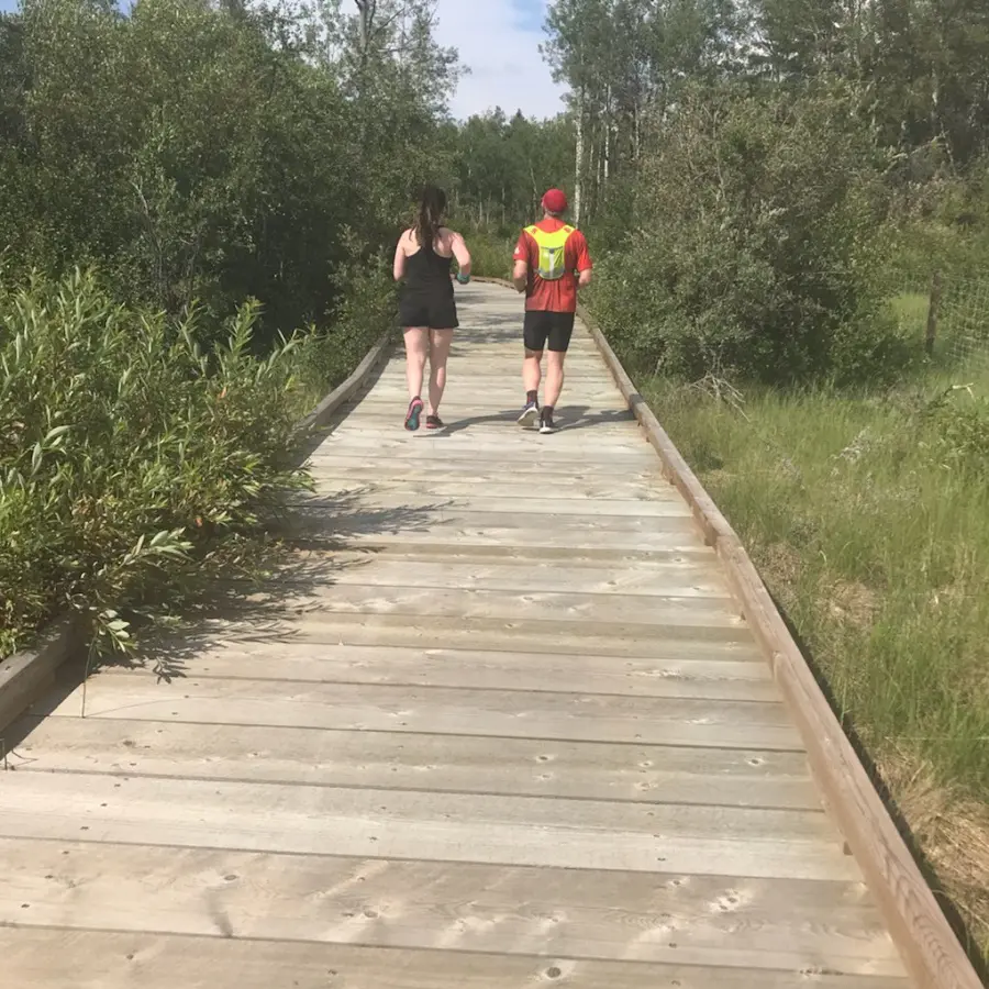
Nothing like a scenic boardwalk!
This trail is on the longer side and makes for a great half-day trip. There are also markers which include a map every 500 m so you know whereabouts you are and how far you are from the beginning and end of the trail, in case you’re wanting to do a shorter route or need to turn back due to changes in weather.
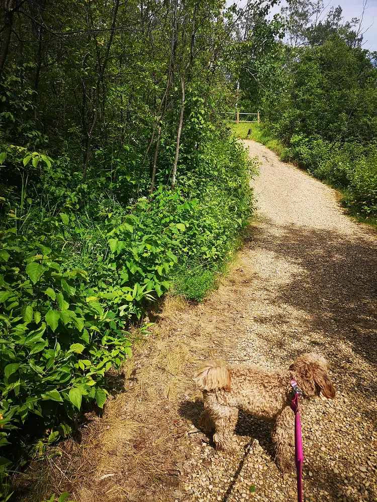
Though not an offleash area, the trail is suitable for puppies – there’s lots of garbage bins along the trail as well to dispose of dog droppings!
Directions:
Parking:
Park at Prospector’s Point parking lot, which is just off Highway 60 and next to the North Saskatchewan River. There are bathrooms and garbage cans at the parking lot.
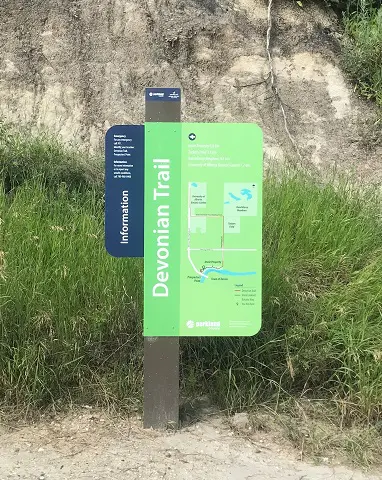
Trail markers appear every 500 m along the trail, as well as at its beginning and end.
Route:
- The trail begins further up from the Prospector’s Point parking lot. Look for the marker indicating the start of the trail.
- The trail starts on a gravel path and after a short period of flat grade begins to ascend up above the river. Look out beyond the trees for stunning views of the valley and river below. There are a few benches along the trail to stop and rest, as well as garbage cans.
- After roughly 2 km, the trail opens up to a quiet country road. Stick to the trail and enjoy the tranquil countryside. You’ll know you’re going the right direction due to markers existing every 500 m.
- After 4 km, the trail opens up from the trees and you’ll walk west on a boardwalk.
- After 6.2 km, you will have arrived at the University of Alberta botanical garden. Either take a break and explore the gardens (there is an admission fee), or head back the same way you came to enjoy the trail from a different perspective!