
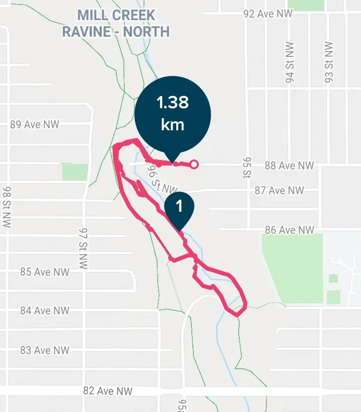
Length: ~ 1.5 – 2 km round trip, 30 minutes to 1 hour
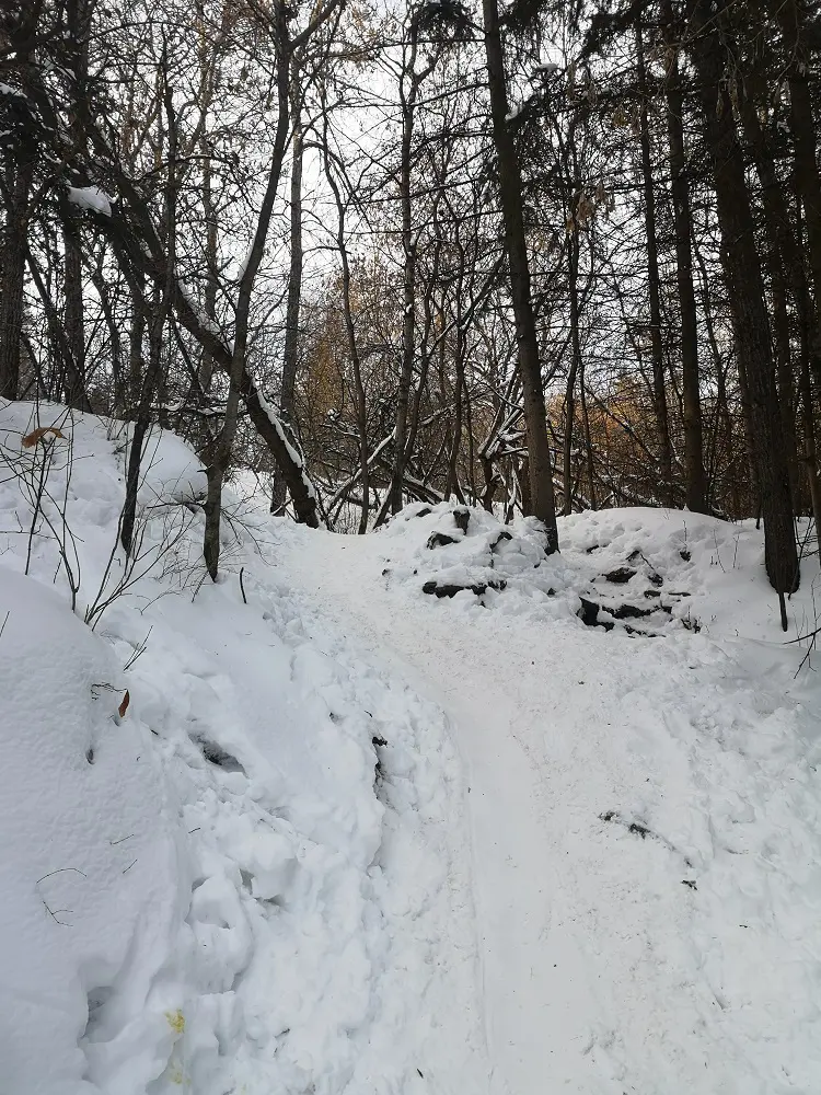
Trail conditions: Moderately flat with some steep inclines (slippery in snow) and a long staircase. Paved path and dirt path (snow-covered in winter.)
Difficulty: Easy
Bikes: Allowed
Dogs: Allowed on-leash (different sections of Mill Creek are off-leash)
Parking: 95 Street and 88 Ave street parking
Iconic red bridges in Mill Creek Ravine
Mill Creek Ravine is a neighbourhood treasure which has stolen the hearts of many who live in the Ritchie and Bonnie Doon areas. But it’s also accessible for everyone to explore its many trails, cute bridges and off-leash areas. In this Trail Trek how-to blog, we’re profiling a little route that mirrors the lit-up trail at the annual Flying Canoë festival, which takes place in Edmonton’s French Quarter and the Mill Creek Ravine.
As Mill Creek stretches from Gallagher Park to Mill Woods, there are several different routes and access points for trekking the trails; this route features one of many possibilities. This small loop begins at 88 Ave and goes to the Mill Creek outdoor pool and back, through thick forest and over beautiful red bridges. For a special treat at the end of your trek, walk 10 minutes east on 88 Ave towards La Cité Francophone for a cup of chocolate chaud at Café Bicyclette.
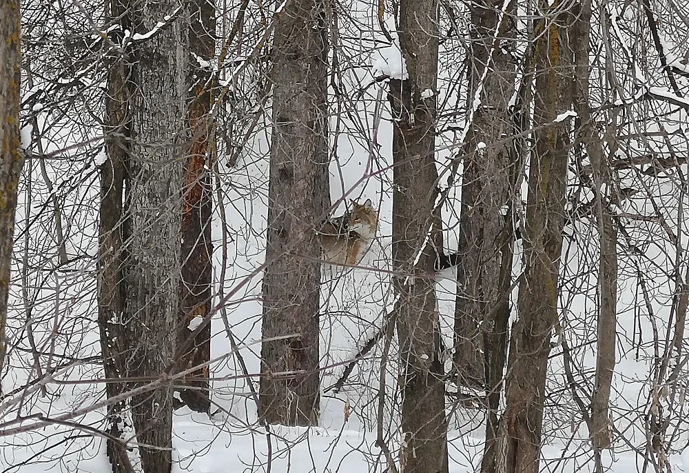
Watch out for wildlife!
DIRECTIONS:
PARKING
For this route, park along 88 Avenue near École Maurice-Lavallée on 95 Street. The school’s parking lot is only available for public parking during the Flying Canoë festival and other special events.
ROUTE
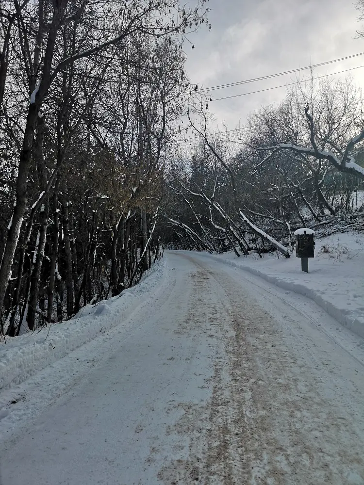
1. Beginning at the end of 88 Ave, walk west towards a wooden staircase and descend into the ravine.
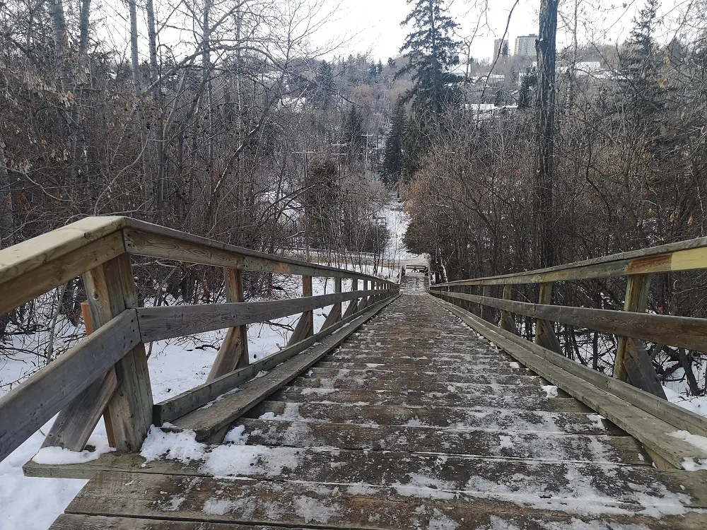
Descend into the ravine down these stairs
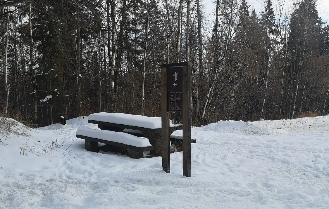
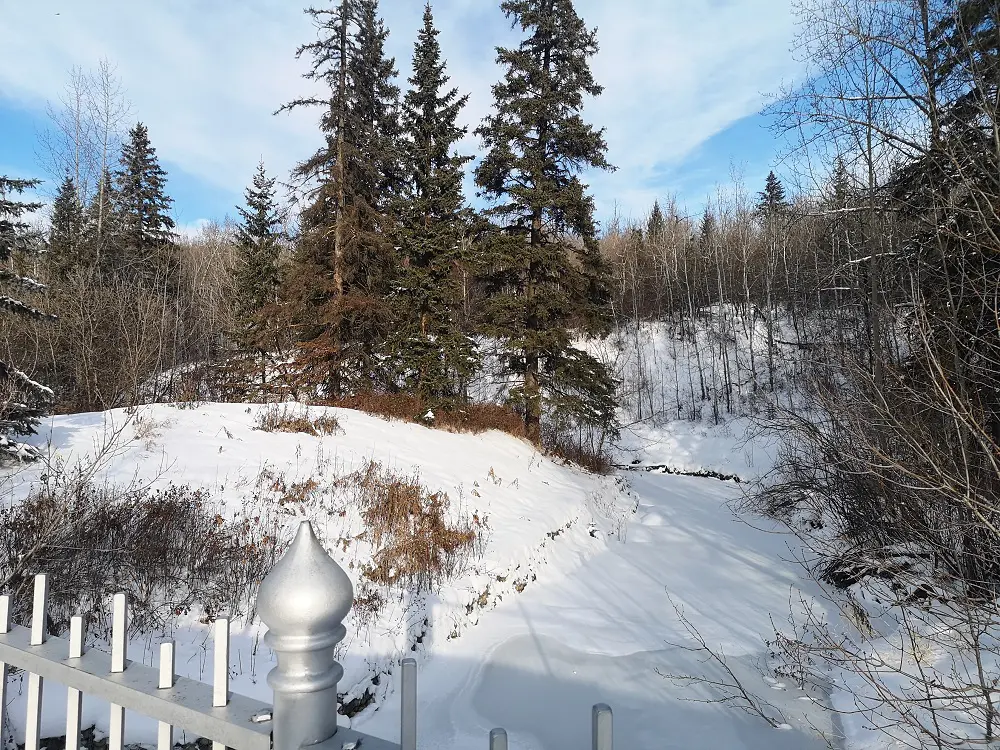
2. You will arrive at a service road and a house. To the right is a picnic area. You can head towards the picnic area, and at the fork, take the road and wide trail leading left and slightly uphill. If you take the path on the right, you can walk to Gallagher Park and the North Saskatchewan River (a Trail Trek blog for another day!)
Wide paved trail on the Mill Creek high path.
3. Head uphill to the high trail of Mill Creek and turn left. You will be on a wide paved trail, with staircases on your right to take you into the neighbourhood. Note that this is also a popular cycling path, so remember to share the path and be courteous to other trail users!
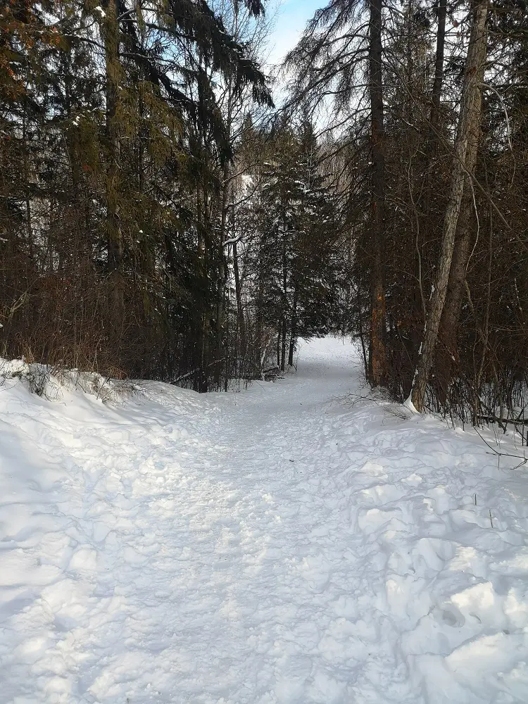
Head left towards the hikers’ sign.
4. Take the paved trail until you reach the Mill Creek parking lot. Follow the “hikers/walkers” sign on the left to re-enter the ravine down a short, steep hill. Be careful in winter for slippery steps.
Descend back into the ravine down this hill.
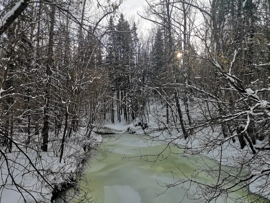
5. At the end of the hill, turn right. You will get your first sight of one of Mill Creek’s iconic red bridges. But instead of crossing the bridge, bear right and follow the single-track path that follows the right side of the creek.
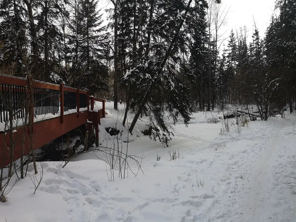
You can take the single-track path on the right side of the creek instead of the bridge. On the way back of the loop, you will take the bridges.
6. Follow the single-track trail along the creek until you come across a small silver bridge that leads to a staff parking lot for the Mill Creek outdoor pool. Cross the lot to the trail that continues south. You will see a sign that states you are now entering the dog off-leash area. You can continue on this trail as far south as Mill Woods, underneath the Whyte Ave bridge and into the Ritchie neighbourhood. For this route, turn left at the dog’s off-leash sign and head west uphill.
Heading towards Mill Creek pool on this silver bridge.
7. Continuing uphill will take you to 84 Ave and the University of Alberta’s Campus Saint-Jean. Instead, go left on the trail to continue north in the ravine.
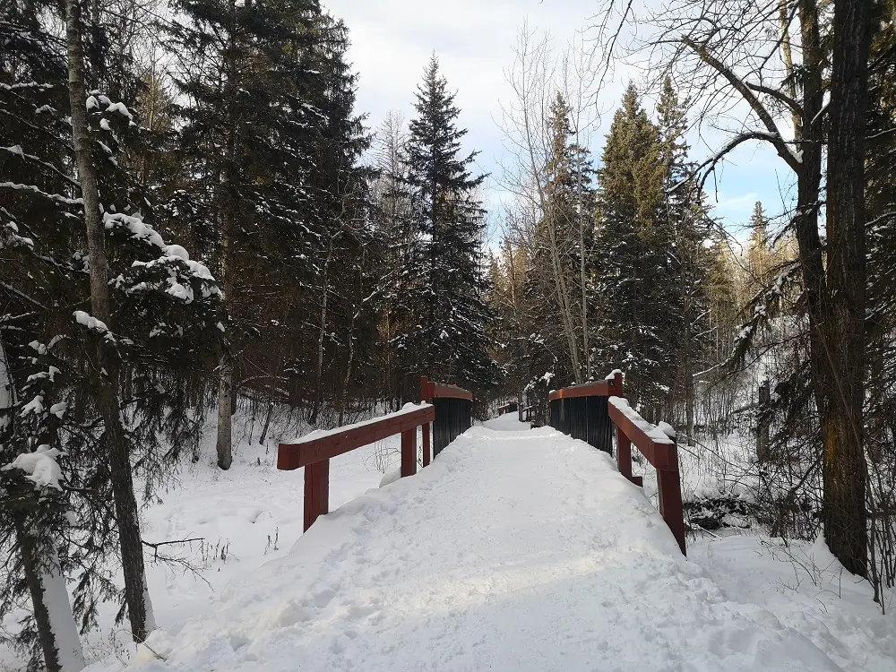
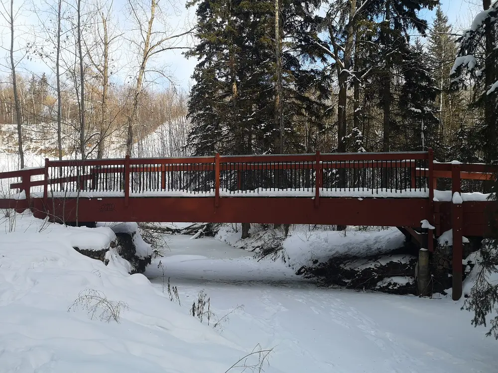
Crossing the series of red bridges.
8. Follow this trail north, which crosses several red bridges. Eventually, the trail narrows and weaves along the left side of the creek before a steep little climb rejoins you with the high trail you started on.
Final steep climb back to the original trail.
9. Head west past the house and towards the staircase to return to your car and end the route.
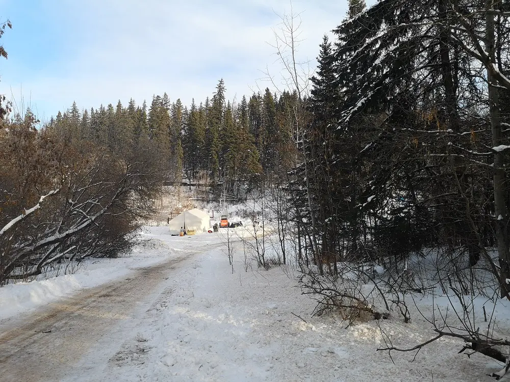
Heading back across the creek to return to the staircase. We were excited to see some Flying Canoe prep happening at this spot!