
Length: ~ 4 km round trip, 45 minutes to 1.5 hours
Trail condition: Big hills, optional staircase, primarily paved
Difficulty: Medium to hard
Bikes: Allowed (Watch those hills! Staircases have a bike ramp.)
Dogs: Allowed on-leash
Access: Grandin LRT station
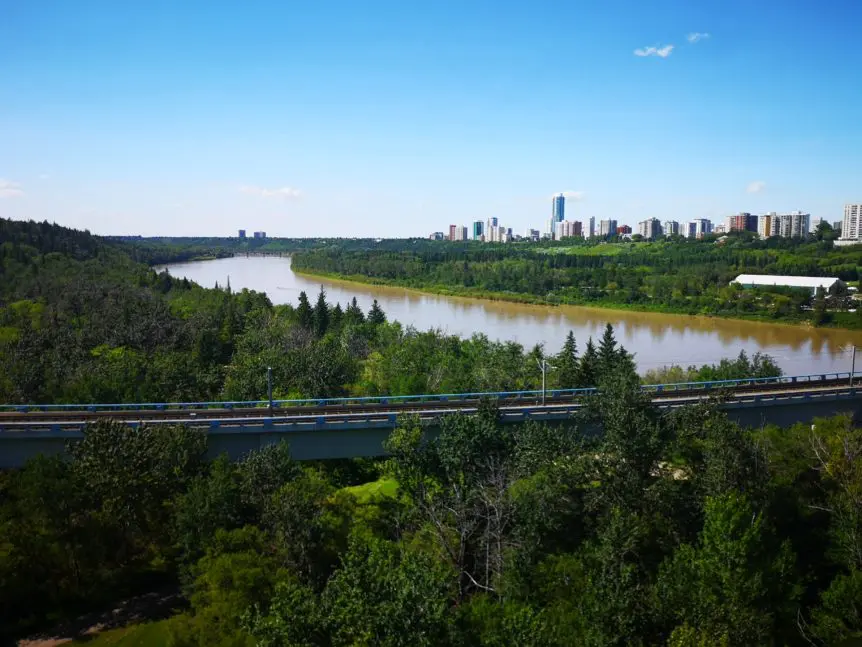
Views from the Dudley E. Menzies pedestrian bridge
Car-less in Edmonton and still want to trek the trails? Visiting Edmonton and staying in a downtown hotel but still want to explore our city’s greatest attraction? We’ve got a trail for you that is not only a great introduction to Edmonton’s river valley, it also features prominent bridges and landmarks AND is even a great workout due to the hills and stairs!
This trail showcases beautiful river valley views as well as prominent landmarks like the High Level and Walterdale bridges.
Through Edmonton’s public transit system, you can easily get to this trail by hopping on the LRT to Grandin Station, which is located just south of the downtown core and near the Legislature Building. We mapped out an hour long route from Grandin LRT station (though this route could start anywhere downtown) that’s great for central exploring for locals and visitors alike!
Directions
Route
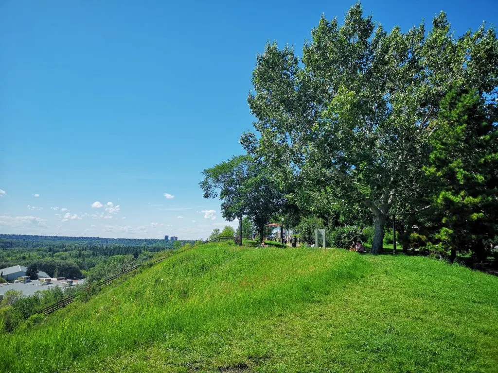
After walking south from Grandin LRT station, you will reach Ezio Faraone Park.
1. When you arrive at Grandin LRT station, follow the signs to exit at 110 St.
2. Head south down 110 Street towards Ezio Faraone park. This beautiful park was named for an Edmonton police officer who was killed in the line of duty. It’s a popular spot for sunset views, picnics and exercise bootcamps.
3. From the park, you can either take the Grandin Stairs down to River Valley Road, or opt for more of a downhill stroll that also takes you to River Valley Road. In this blog we’ll take the downhill stroll, but the stairs join up at the same place eventually.
4. Head towards the park gazebo and follow the downhill path westward.
5. After a slightly steep descent, continue down the trail until you reach its first intersection. Bear left and continue downhill towards the Royal Glenora Club.
6. Pass the Royal Glenora Club and a ball diamond. Continue southbound along the trail to River Valley Road.
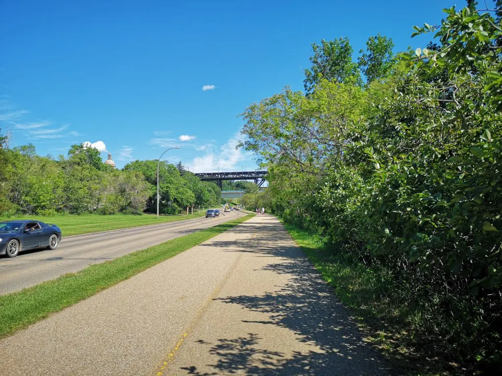
River Valley Road’s multi-use path runs parallel to the river and is a popular spot for runners and cyclists
7. Cross River Valley Road at the marked crosswalk and turn left/head east towards the High Level Bridge.
8. Walk until you reach the Dudley E. Menzies pedestrian bridge (named for an Edmonton engineer and politician), which is also the bridge used for the LRT crossing. Take the ramp up to the underslung pedestrian walkway and cross the river. Enjoy the views!
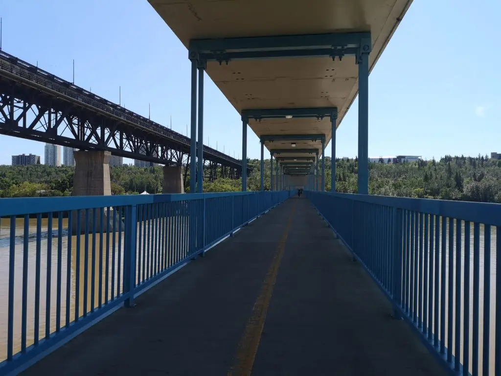
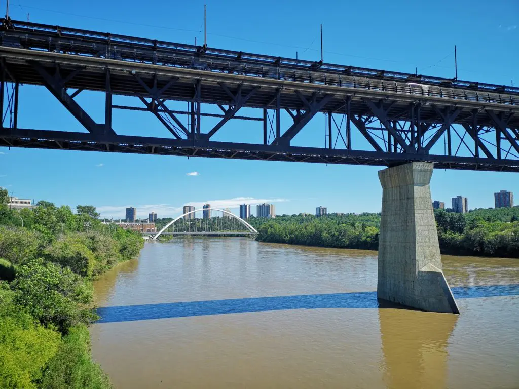
Crossing the pedestrian bridge
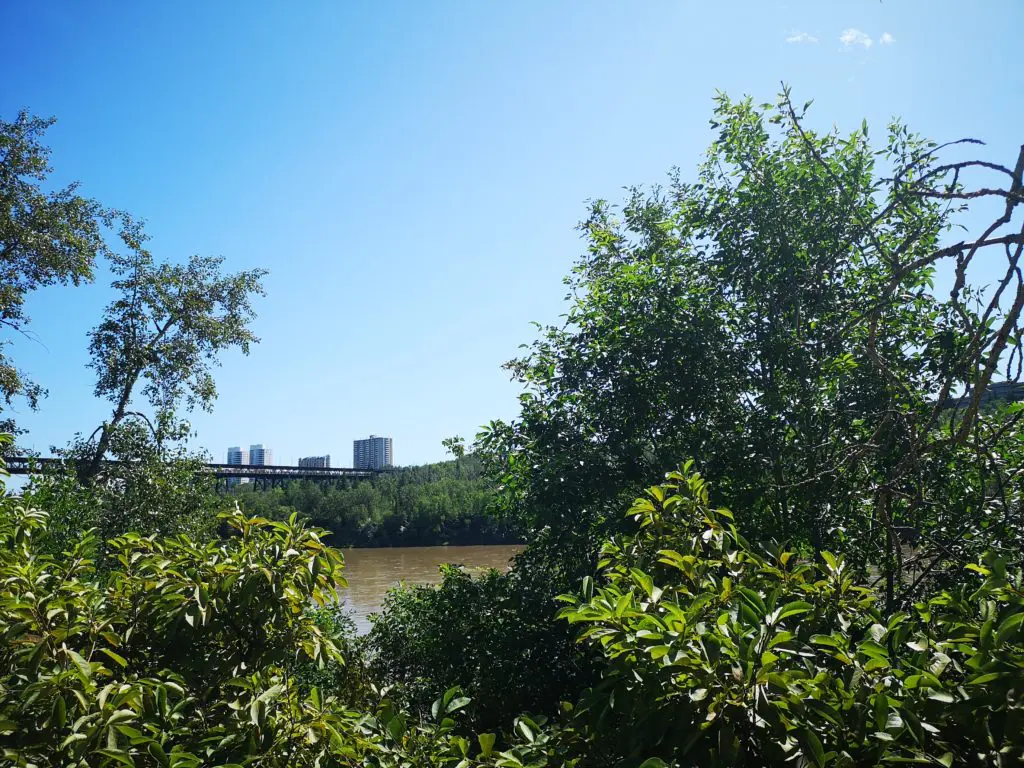
9. Once across the river, continue along the trail, heading in a generally south direction on a mostly uphill trail that is almost underneath the high level bridge. You won’t descend to Kinsmen Park, so think of continuing to the top of the bank when you are orienting yourself.
10. After a long uphill stretch, go left at a T intersection so you continue in the direction of the High Level Bridge.
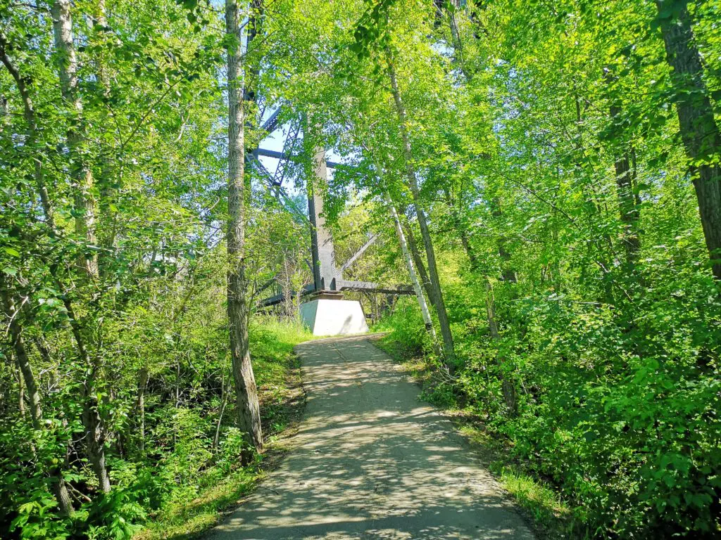
If you’re near the High Level Bridge, you’re going the right way.
11. At the next fork, go right up another hill rather than continuing onward to Kinsmen Park.
12. You will reach a small staircase—ascend this and you will be near the streetcar tracks that run parallel to 109th street and atop the High Level Bridge.
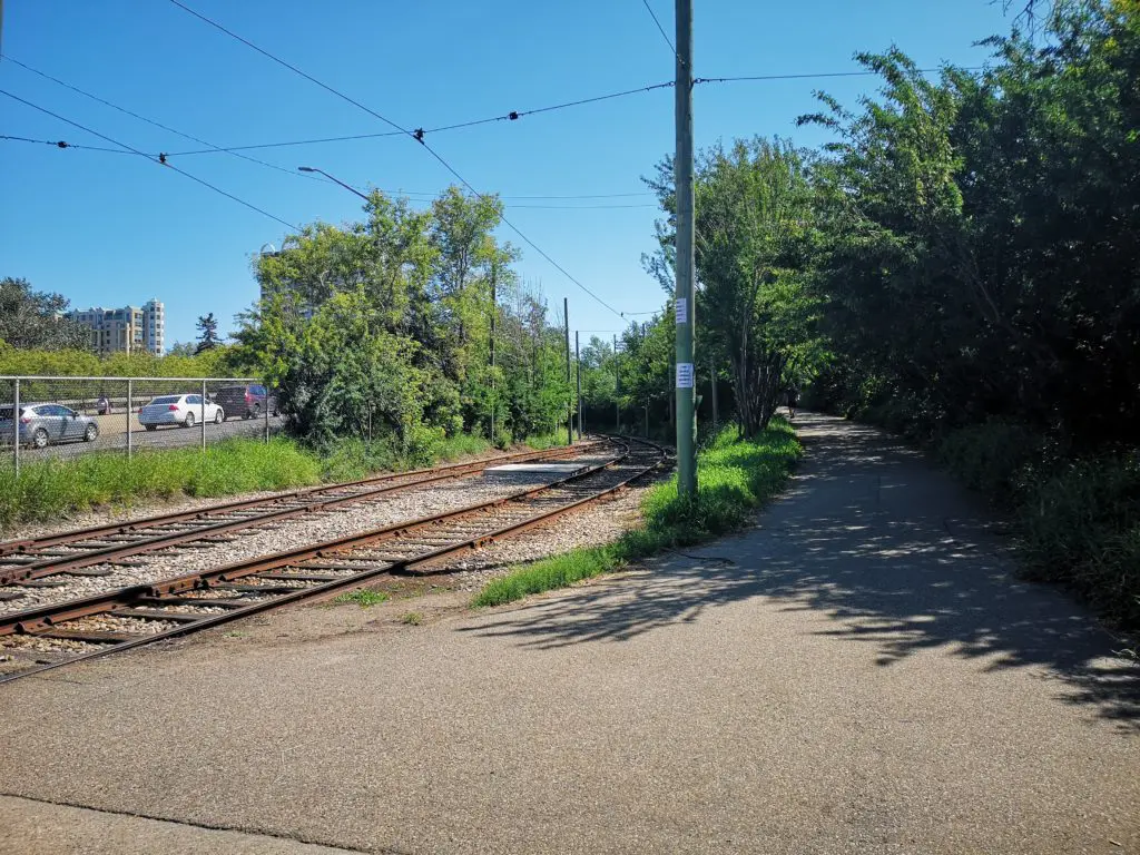
Streetcar tracks at the top of the bank – which means the end of the uphill for this trek!
13. From here you can take a snack break at some of Edmonton’s finest dining institutions—Sugarbowl Cafe, Remedy Cafe, Rosso Pizzeria or High Level Diner—especially after completing that uphill climb! Or, go left to head back across the High Level Bridge.
14. From the High Level Bridge you can admire further views of the River Valley, including the Walterdale Bridge, the Legislature Building, and Edmonton’s downtown.
15. Cross the bridge, and you’ll end up back at Ezio Faraone Park where you started. Linger a while in this scenic park, or head back to Grandin LRT station where you began!
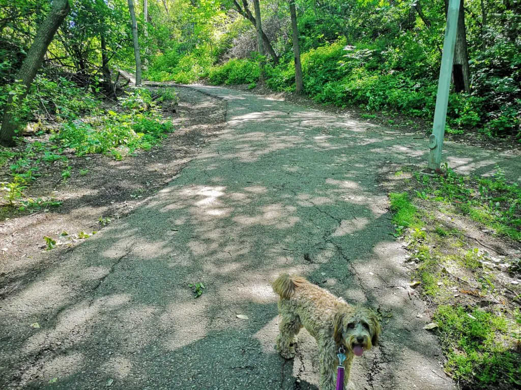
Those hills were “ruff”!