
Length: ~ 3.5 km round trip, 45 minutes to 1 hour
Trail condition: Rolling hills (some steep), wide dirt/gravel path
Difficulty: Medium
Bikes: Allowed
Dogs: Allowed off-leash except at lookout point, where they must be on-leash.
Parking: Hawrelak Park Site #2.
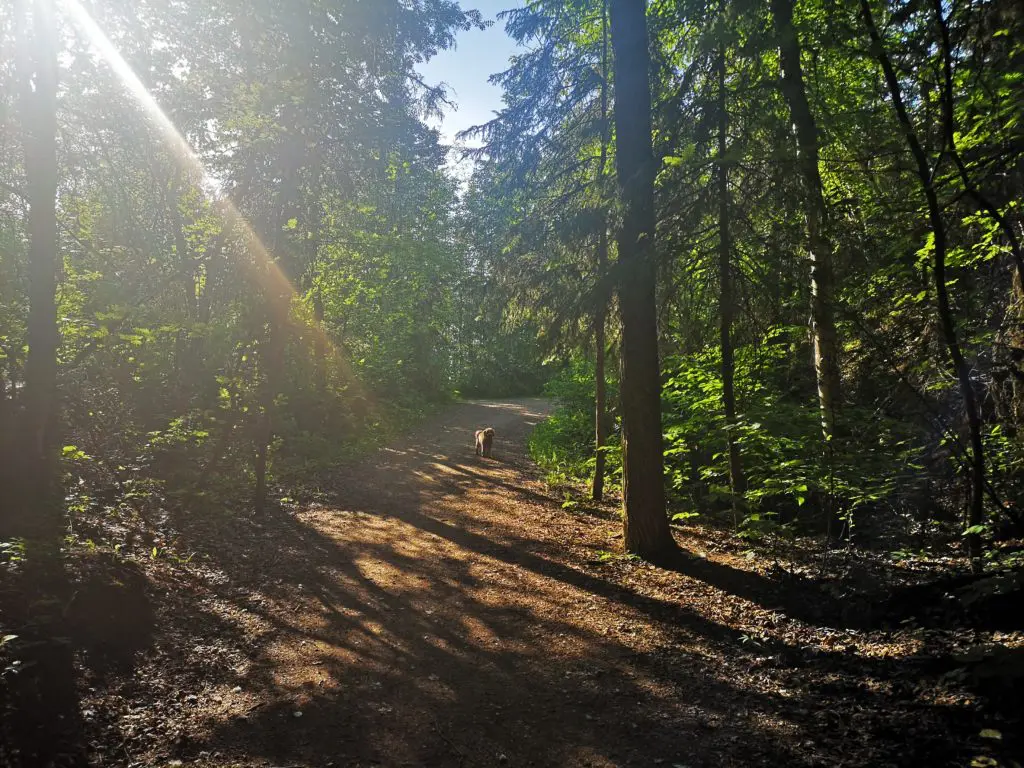
This wooded trail makes it feel like you’re not even in the city.
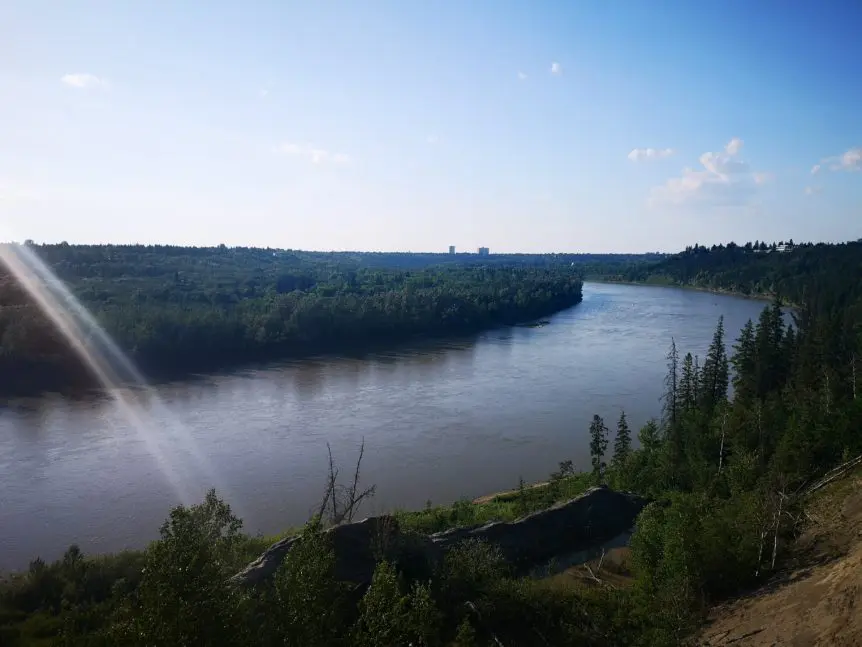
Before it was renovated by the City of Edmonton, Keillor Point was known colloquially as the “End of the World”, a popular lookout area on top of large pillars left behind from an old retaining wall. Now, the viewing area is much safer and easily accessible for a great panoramic view of the river valley. Instead of driving straight to Keillor Point, make this lookout the high point of a little river valley trail trek by starting at Hawrelak Park, and enjoy a gorgeous and peaceful forested trail along the way.
The trail is good in all seasons as long as you’re mindful of mud and ice.
Directions
Parking
If travelling by car, park at Hawrelak Park Site #2. When driving around the one-way ring road in Hawrelak Park, this is towards the end near the skating pond. A sign indicates you are at Site #2 and you will see an amenity building that includes picnic tables and public washrooms.
Route
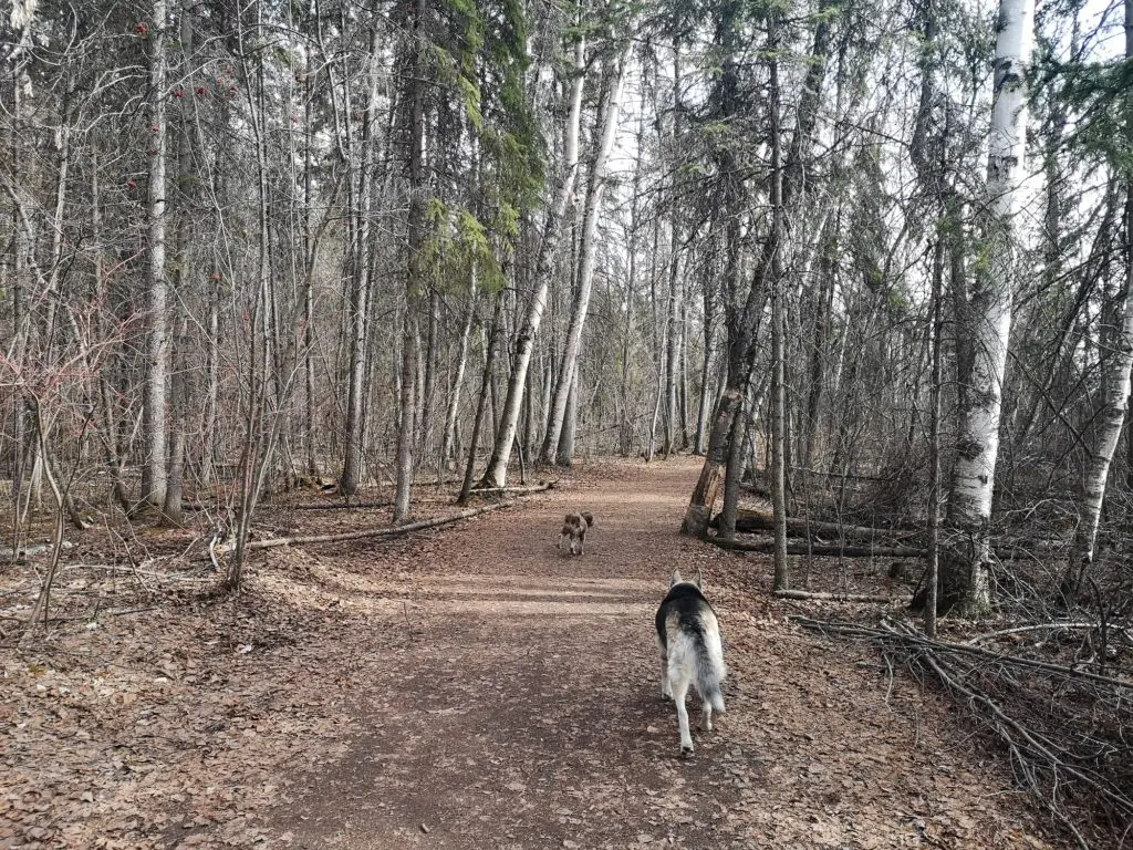
Stick to the wider main trail, or go exploring on the side/single-track trails
- Follow the trail from the parking lot past the picnic site’s amenity building.
- Follow the trail heading southwest towards the Buena Vista/Hawrelak Park Footbridge.
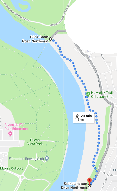
- Before you reach the bridge, go left onto the dirt trail. At this point, the trail becomes off-leash.
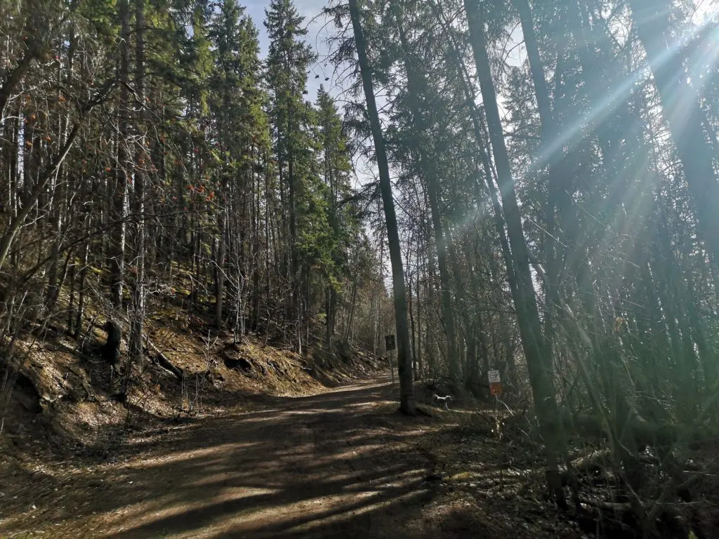
- Follow the trail southwards for 1.6 km. There are some sections where it splits, but these are mostly trails created by cyclists for single track routes, or to get a closer look at the river. If you do stray off the main trail, it will connect back eventually.
- You will go up and down some big hills. If attempting this trail in winter or after a rainfall and there’s a lot of mud, be careful you don’t slip!
- At 1.6 km, the trail heads upwards and connects you with Saskatchewan Drive and 75 Ave in the Belgravia neighbourhood. Follow the signage to continue down to the Keillor Point lookout.
- Enjoy the view, take some pictures, and head back to Hawrelak Park the same way you came!