
Length: ~ 5 km round trip, 1 hour to 90 minutes
Trail conditions: Moderately flat with some inclines, gravel path and dirt path
Difficulty: Easy
Bikes: Not allowed
Dogs: Allowed on-leash
Parking: Parking lot just off River Valley Road
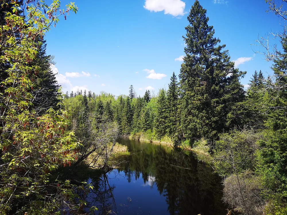
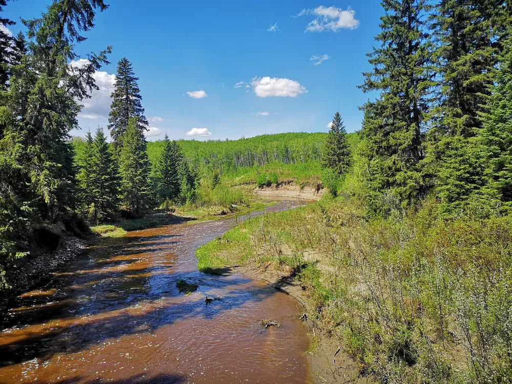
Quiet part of the creek with no rushing water
Whitemud Ravine is a nature reserve in the city’s heart, complete with old-growth forest, over 150 species of birds and several species of wildlife. Despite its proximity to busy roads like Whitemud Drive and 23 Ave, it’s a great place to distance yourself from the bustle of the city, bird watching, and, of course, #trekthetrails. We’re always a fan of a dirt path over a paved one — it makes you feel like you’re not in the city anymore! Also, given you are in some thick woods, don’t forget your bug spray in summertime — when we tested this route in late May, we got eaten alive.
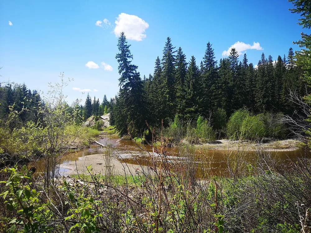
Lots of run-off in spring leads to the brown colour of the creek.
The ravine stretches further north and south from this route so that you can make this trail last even longer. In previous blogs, we wrote about a section of the Whitemud Ravine system (and another nature reserve), Larch Sanctuary, and the north section.
DIRECTIONS:
PARKING
Park at the lot just off Rainbow Valley Road before you reach Snow Valley.
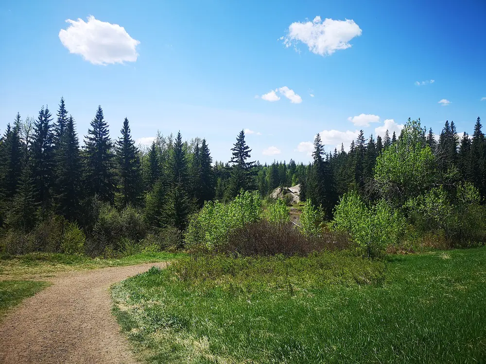
Heading to the start of the trail
ROUTE
1. After parking at Rainbow Valley Road, head generally south on the trail towards the creek and ravine.
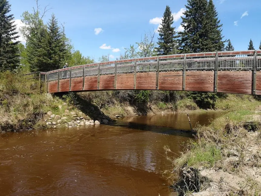
2. You’ll cross a footbridge reasonably quickly, the first of several that cross over Whitemud Creek.
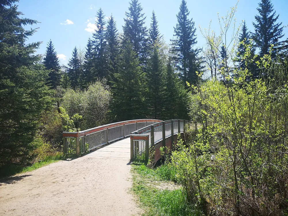
First footbridge
3. Enjoy the tall trees of this old-growth forest and keep your eyes peeled for wildlife.
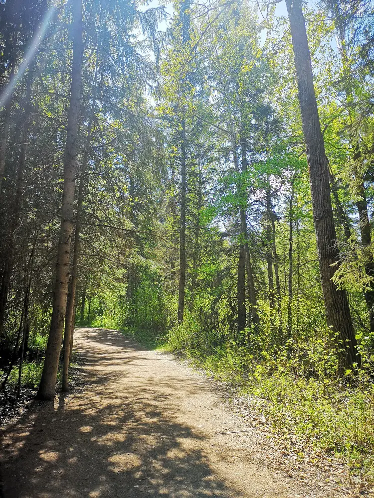
Tall trees and a dirt path
4. One footbridge is under construction and isn’t finished; practice caution while crossing.
Views from footbridges
5. the creek moves quite quickly from spring run-off and rain in springtime. You may even see some paddlers!
6. After 1 km, you’ll reach your first fork. Follow the sign for Aspen Gardens, not Bulyea.
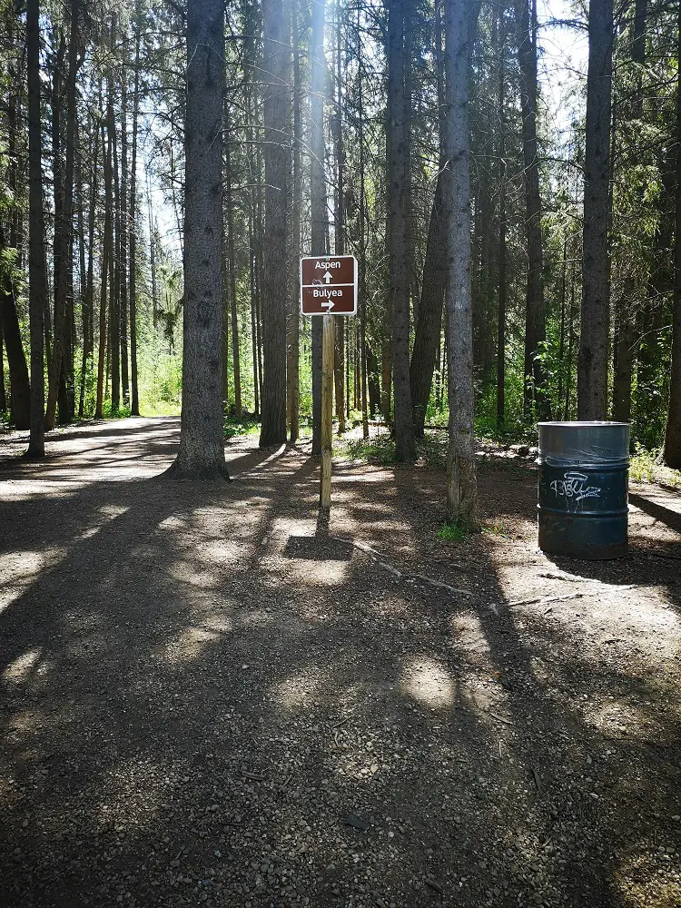
Fork in the road
7. The next fork is at 1.6 km – follow signs for Ogilvie Ridge, not Westbrook Estates.
8. If the signage is faded or unclear, consult the AllTrails map and compass to ensure you’re walking in the right direction.
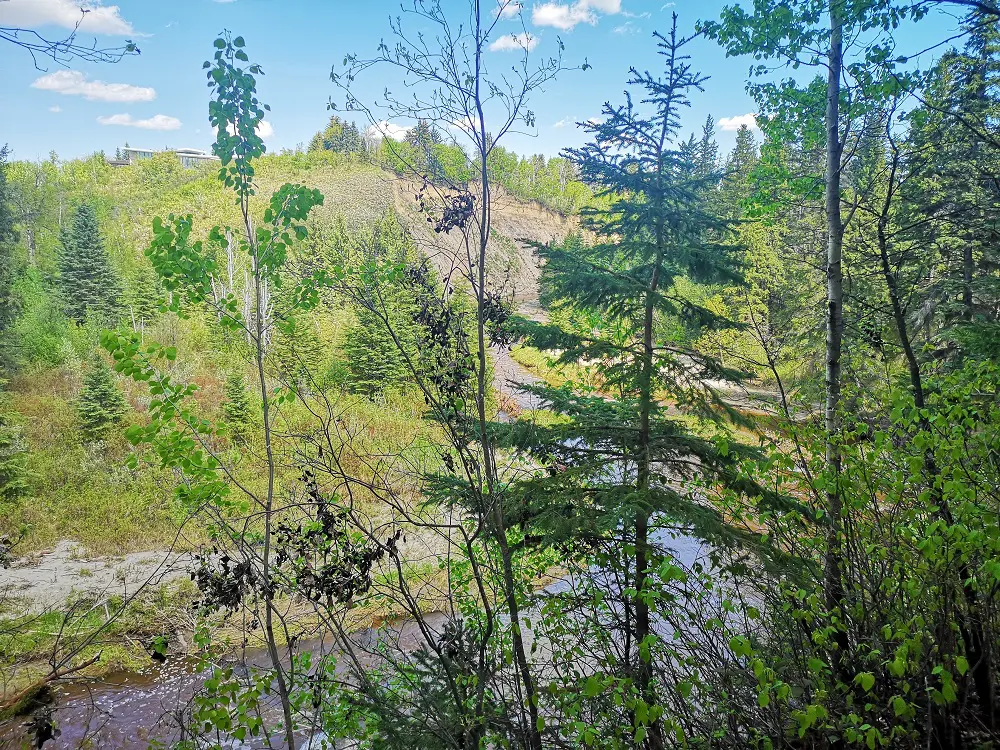
The final lookout – The Derrick club is on the top of the opposite bank.
9. Walk another 500 m. You will reach a lookout point and a set of stairs. We turned around at the stairs to make this route around 5 km, but you could continue walking to 23 Ave and beyond MacTaggart Sanctuary.
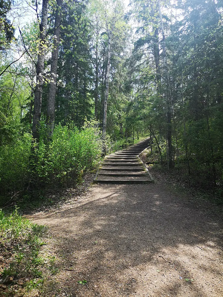
Turn-around point
10. Return to Rainbow Valley Road the same way you came.
MAPS
Trail Map (source: AllTrails)