
Length: ~ 5 km round trip, 1 hour
Trail conditions: Moderately flat with some small inclines, paved path and dirt path. Snow covered in winter.
Difficulty: Moderate
Bikes: Allowed
Dogs: Allowed off-leash except where indicated by signage
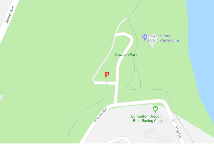
Parking: Dawson Parking Lot
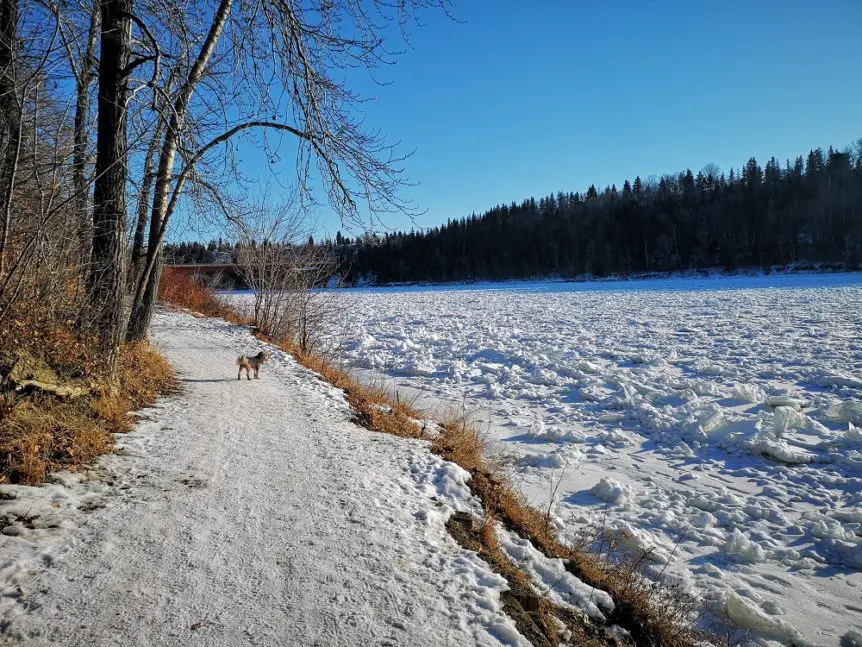
Dawson Park towards Capilano is primarily an off-leash trail.
If you loved our first short trail trek blog that starts in Dawson Park, here’s a longer one for you that really brings on expansive views of the river and Edmonton’s skyline. Plus, if you’ve ever wondered where the ‘infamous’ river valley swing is located, you can spot it on this route in spring or summer time (it’s a little ice-covered in winter!). The majority of this trail is off-leash, so it makes for a great workout for your pup too!
Dawson Park is located just outside of the downtown core in the neighbourhood of Riverdale, also known as “Edmonton’s Garden” for its big trees and beautiful old houses. Its parking lot is easily accessible whether you’re coming from downtown and 95 St or from the east side of the river across the blue Dawson Bridge. Not to mention all your amenities are covered with a public washroom near the parking lot, a boat launch, and picnic sites.
From the parking lot, take this partial loop trail to the Capilano Bridge and back. This trail also connects all the way to Highlands and northeast Edmonton if you have more time and are feeling especially ambitious!
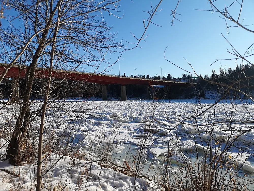
Capilano Bridge views
Directions:
Parking
If travelling by car, park at the Dawson Parking lot. This small lot is near the public washrooms and picnic site.
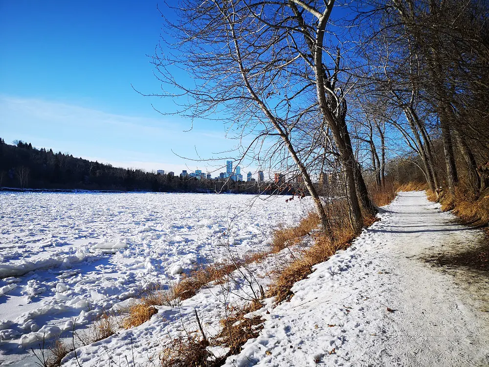
Edmonton skyline opens up on the waterfront trail returning from Capilano bridge
Route
1. Follow the trail from the parking lot past the washrooms and picnic sites. You will also see the ramp that leads down to the Dawson boat launch.
2. You will reach a sign that states the off-leash area begins. Follow this paved trail for two kilometres, past the Hoodoos and trails that lead up to Borden Park.
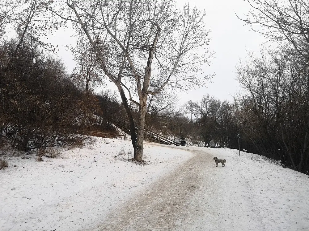
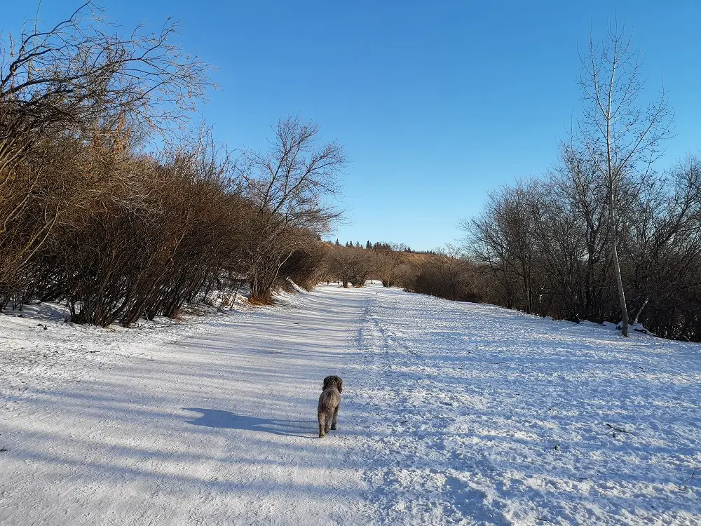
Heading uphill towards Highlands
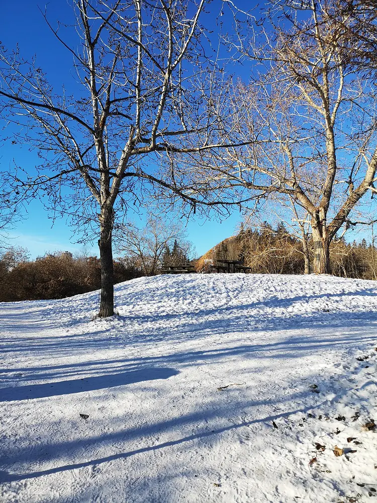
3. After two kilometres, you will reach a small park with a few picnic benches and garbage cans. Here you can choose where you begin the loop to Capilano Bridge. If you prefer walking down big hills and up a set of stairs, you will go right past the park and down to the waterfront trail. If you prefer walking up big hills and down a set of stairs, you will follow the path left. Since we did this walk in winter time and down hills can be slightly more slippery, we will speak to going left at the park and continuing to follow the paved trail. We also particularly like walking this direction because you can view parts of the downtown skyline hovering over the water, with different parts of the valley opening up at every curve!
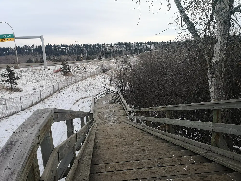
Down the stairs to walk parallel to Wayne Gretzky Drive
4. You will take this paved trail about 600 m as it reaches toward Ada Boulevard. You will reach a set of stairs that go upwards to Ada Boulevard. Instead of going up, walk past the stairs to continue on the trail. You will reach another set of stairs that take you down back to the trail (signs will say park and trail access only).
Walking beneath Wayne Gretzky Drive.
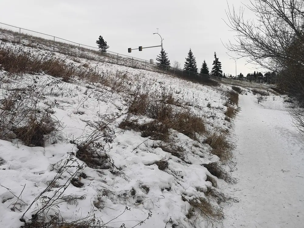
5. After the stairs, the trail becomes mostly flat and runs parallel to Wayne Gretzky Drive.
Walk under the bridge to this open pathway
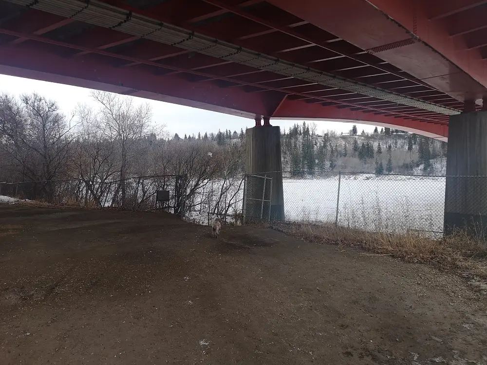
6. Follow the trail past the park and continue walking to the underside of Capilano Bridge. The architecture and bright red colour of this bridge make for a great photo op!
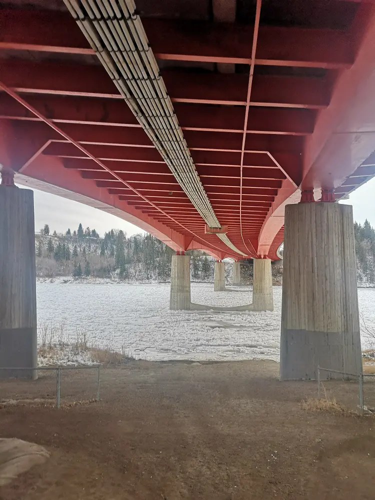
The underside of Capilano Bridge
7. Go past the fence at its opening to connect with the lower trail and go right. This is the waterfront trail that connects back to the park at the first fork. This is a dirt trail, not paved.
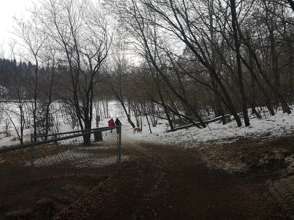
Heading to the waterfront trail
8. If you’re paying close attention, you will see the “hidden gem” of the river valley swing hanging over the water just off from this trail. In winter, unfortunately, the ice that builds on the river bank tends to swallow the swing up!
9. The waterfront trail eventually winds and ascends back to the park where you first split off.
Returning to the park from the waterfront trail
10. Follow the same paved trail back for two kilometres to end up at the parking lot at Dawson Park.