
Length: ~3 km round trip (1.5 km one way), 45 minutes to 1 hour
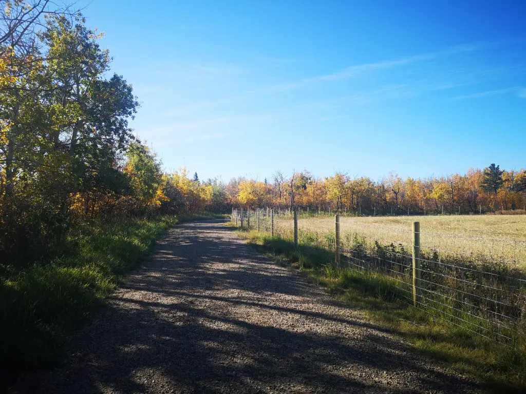
Trail condition: The trail is flat and gravel; if you start at Lions Campground, there’s a hill to the top of the bank
Difficulty: Easy – Moderate because of the hill
Bikes: Allowed
Dogs: Allowed on-leash
Parking: See instructions and maps
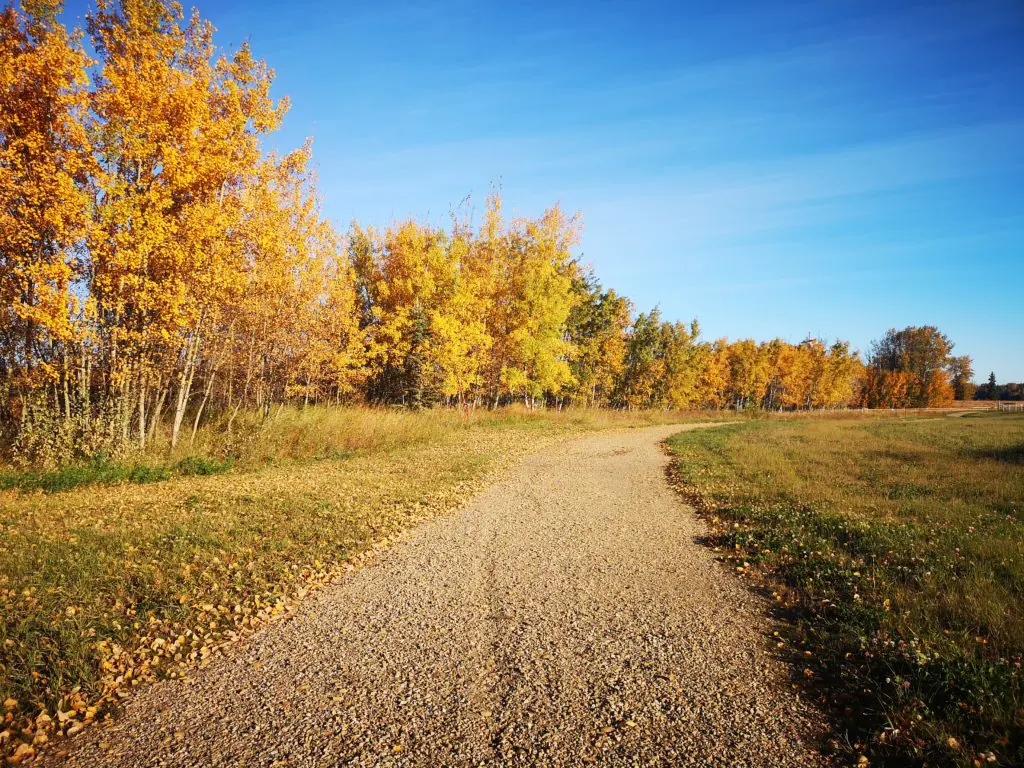
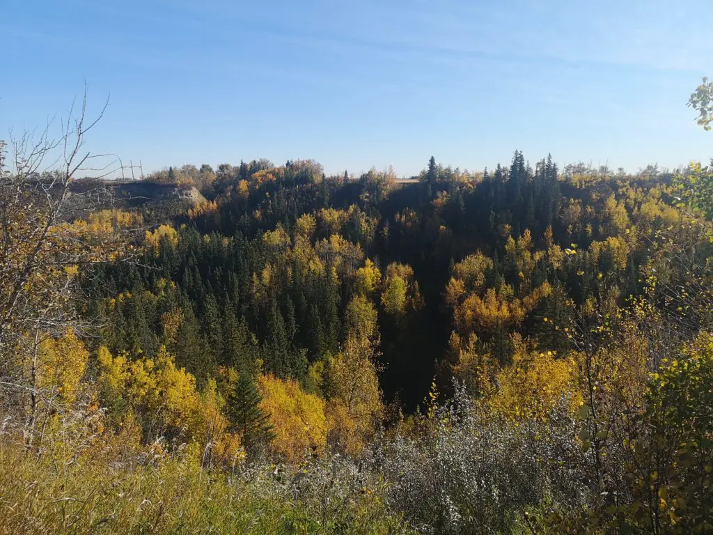
The trail amidst beautiful fall foliage
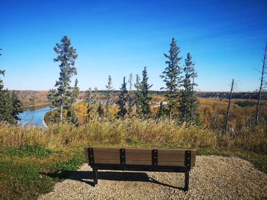
This section of river valley in Devon offers stunning views of the North Saskatchewan River. Since the trail sits at the bank’s top, you have an elevated view of the cliffs below. Battery Creek Trail may even have the best vistas in the river valley park system!
This newly opened section of trail begins at the trailhead and follows along the river for approximately 1.5km until it ultimately ends at Rabbit Hill Ravine. You can carry on all the way to the ravine or turn around at any point along the trail and return to the parking lot.
Regardless of how far you travel, stop and enjoy the breathtaking views or take a breather on one of the many benches. Don’t forget to bring your camera!
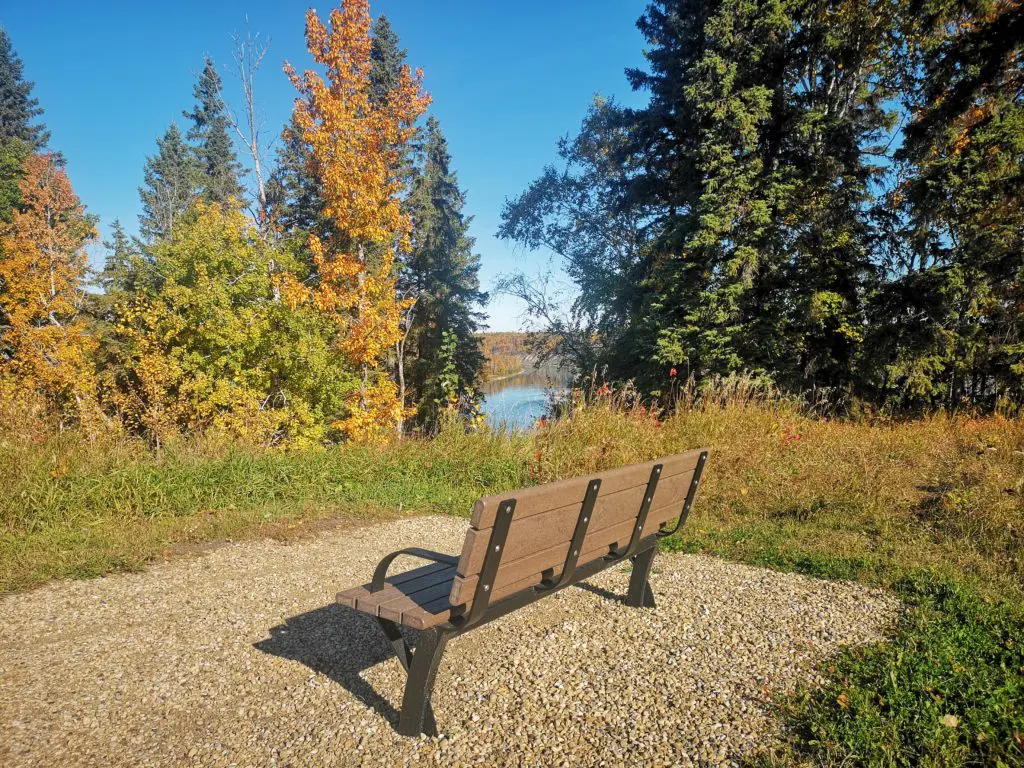
There are plenty of benches along the trail where you can take a break and take in the river views
DIRECTIONS
PARKING
There are two places you can park to access the Battery Creek Trail.
First, you can park in the parking lot at the base of Saskatchewan Ave E before the entrance to Lions Campground. From there, continue along the trail south through the campground to the Battery Creek footbridge. After you cross over, you will continue out of the valley to the top-of-bank, where the trailhead is located at Range Road 262.
Alternatively, you can park in the parking lot at the trailhead at the termination of Range Road 262. There are two ways to get to this parking lot.
Option 1:
- Travel south on Highway 60 towards Devon.
- Continue through Devon (stay on the highway) and turn left onto Highway 19.
- Look for the sign on the right that says “Peace Cemetery.” Approximately 50 m after the sign, turn left onto Range Road 262.
- Continue straight down the gravel road until it terminates.
- Park in the parking lot at the trailhead.
Option 2:
- If travelling on Highway 2 south, take the Highway 19 exit west towards Devon. You will see signs posted for Rabbit Ski Hill and Shalom Park.
- Travel west on Highway 19 until you reach Range Road 262.
- Turn right onto Range Road 262 and continue down the gravel road until it terminates.
- Park in the parking lot at the trailhead.
The trail is gravel and relatively flat between the trailhead and Rabbit Hill Ravine.
ROUTE
- From the trailhead, continue along the trail until you reach Rabbit Hill Ravine. This is where the trail ends and acts as the turnaround point.
- Be sure to stop and take in the stunning vistas or rest on one of the many benches.
Although the river features many lookout points along the trail, check out the ravine.