
Length: ~ 3.5 to 4 km round trip, 45 min to 1 hour
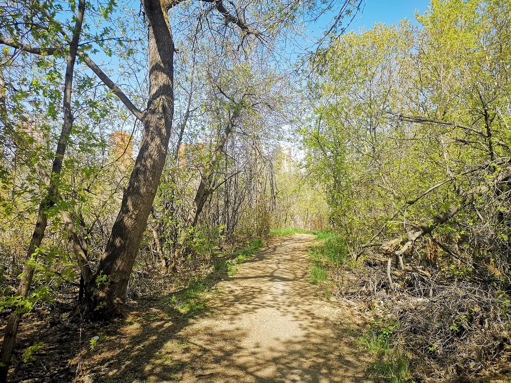
Trail conditions: Moderately flat dirt path with some single track for the first half. The second half changes to a steep, uphill, wide paved path and then flattens.
Difficulty: Moderate to Difficult due to uphill climb and single-track
Bikes: Allowed
Dogs: Allowed on-leash
Parking: Rowland Road Parking Lot
Views from the trail
If you love dirt trails, great views, and a perspective refresh, this route is for you! Beginning at the Riverside Golf Course parking lot, this trail weaves along the riverfront on a quiet dirt trail with great views of the water and Dawson Park across the river before connecting with a paved uphill trail that takes you to the McNally lookout, one of the most underrated viewpoints in Edmonton.
With plenty of benches along the way that gaze upon incredible river valley vistas, pack a picnic and rest a while — and with that uphill climb, don’t forget to bring water! Another tip — this is a busy area for cyclists and mountain bikers, so stay alert and share the trail.
DIRECTIONS:
The trail is quiet and peaceful – a true nature retreat in the city’s heart.
PARKING
The Rowland Road Parking Lot is a parking lot for Riverside Golf Course but also works for this trail.
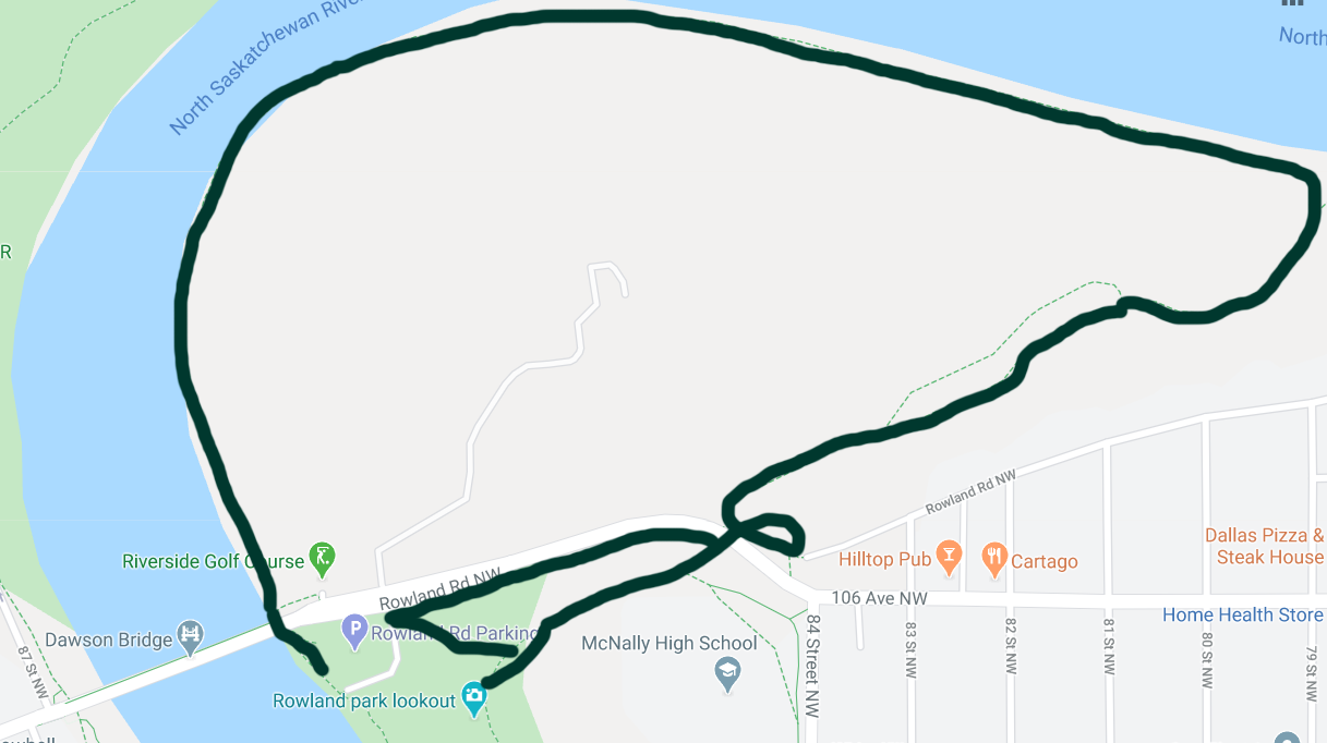
ROUTE
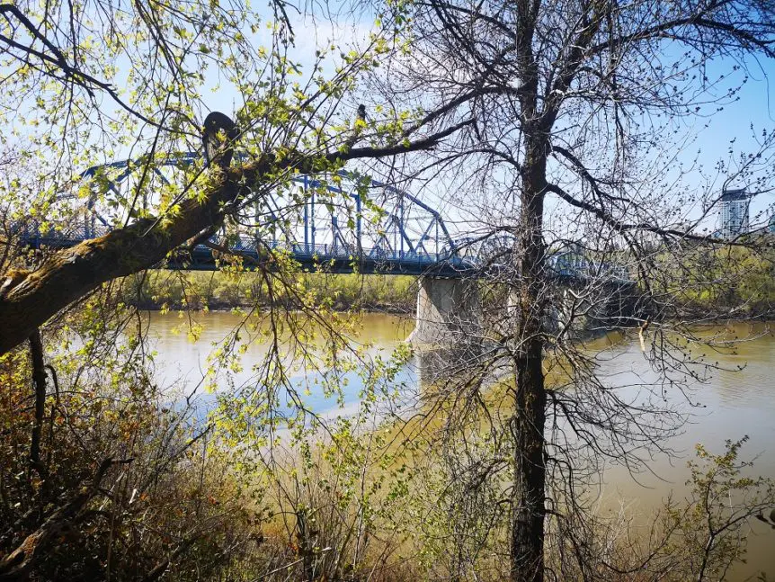
1. Beginning at the Rowland Road parking lot, head towards the dirt trail and turn right, heading towards the blue Dawson Bridge.
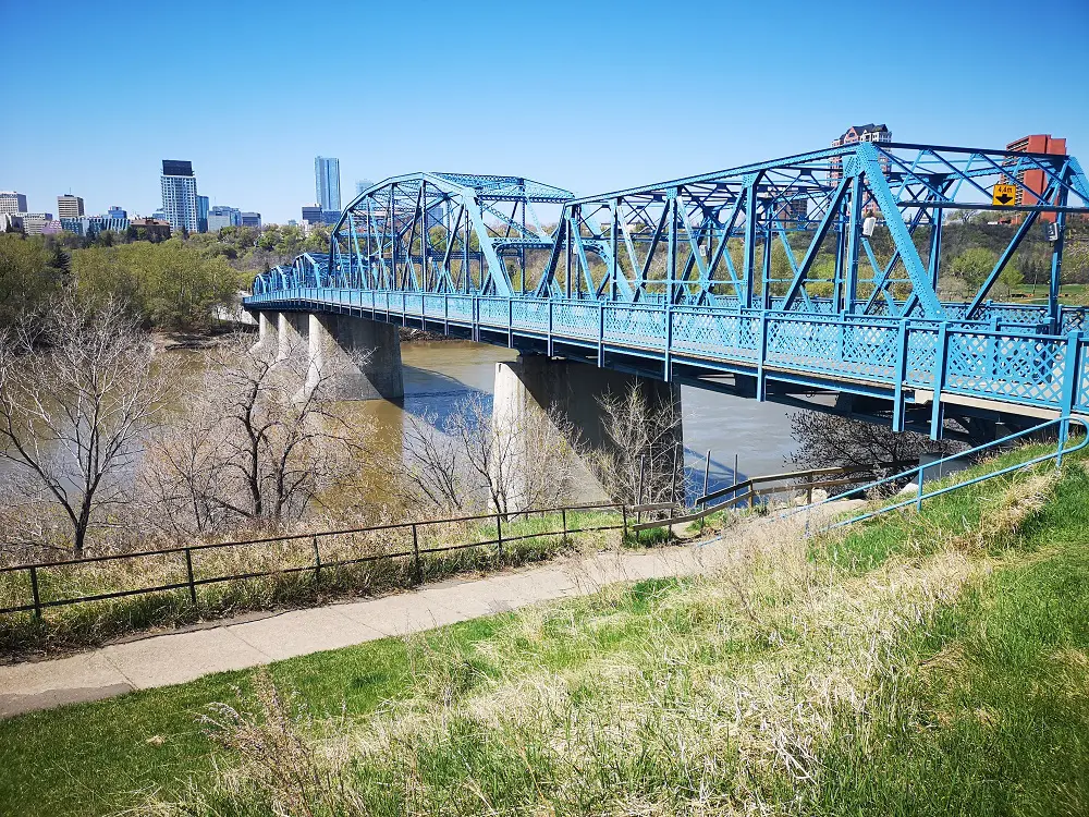
The trail goes underneath the Dawson Bridge.
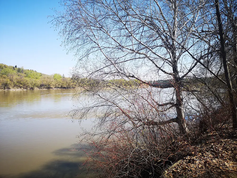
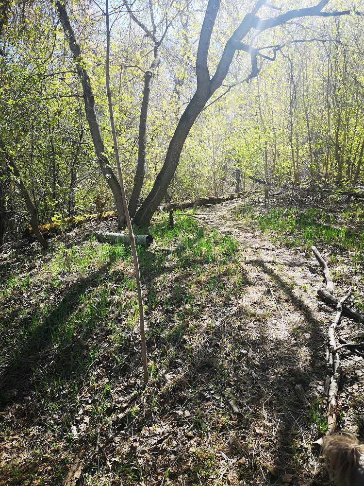
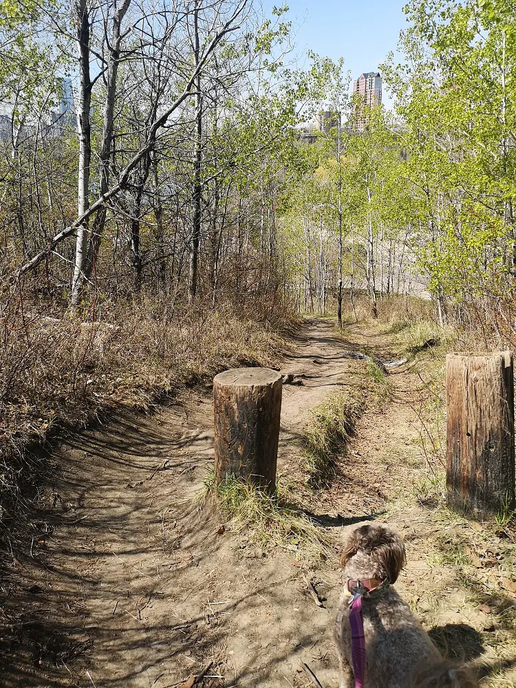
2. This dirt path follows the waterfront alongside Riverside Golf Course. There are a couple of benches to stop and enjoy the view.
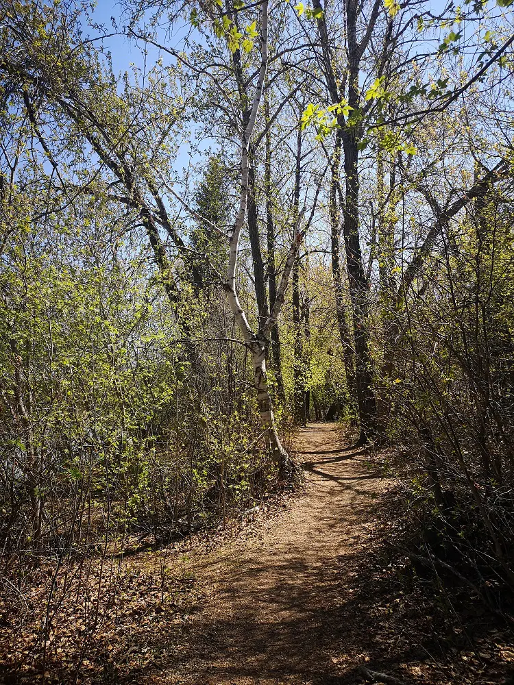
Enjoy the serenity of a dirt trail.
3. You’ll also look across at Dawson Park and its hoodoos.
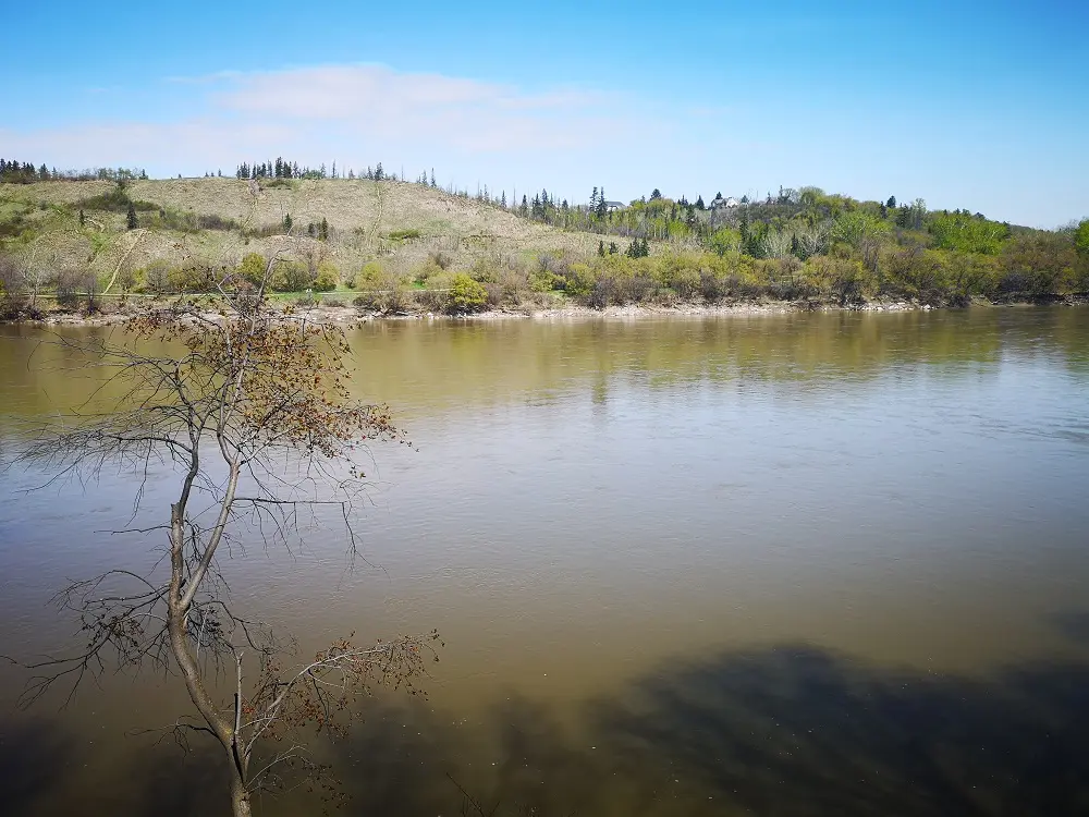
Looking out at Dawson/Kinnaird Park
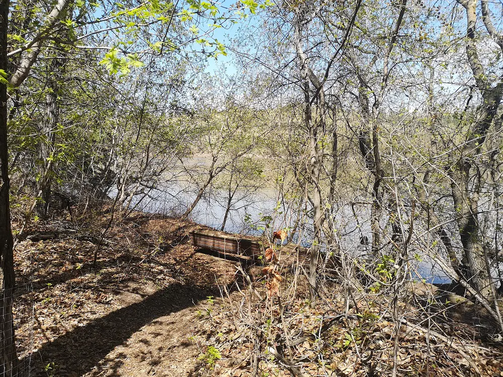
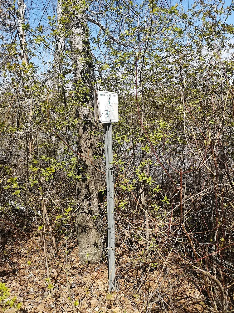
4. After roughly 1.8 km, there is a dirt singletrack trail you take upwards to connect with the paved trail. You’ll miss it if you aren’t looking, so note that it comes shortly after a bench spot and a faded sign.
5. Walk up the single-track trail until it connects with a paved trail, and turn right.
The single-track trail that connects the first trail with the paved one
6. The paved trail is a climb as it eventually takes you to the top of the riverbank, where you are just at its base. There are a couple of benches along the way and garbage cans if you have food or dog waste. Remember — pack in what you pack out, or throw it out properly!
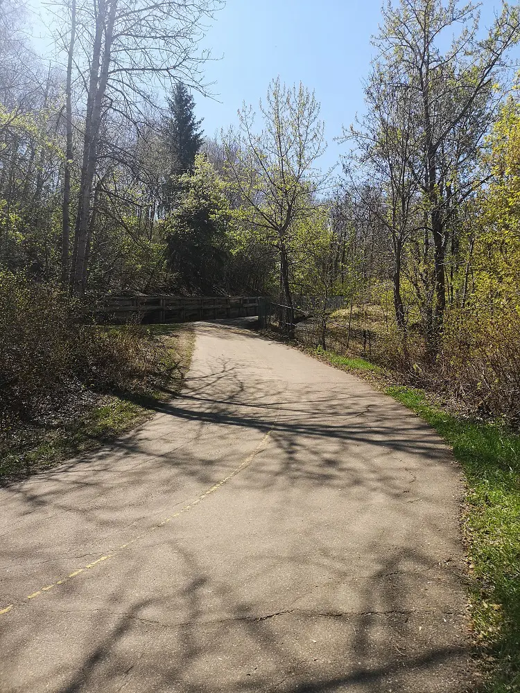
Climbing up the paved trail
7. The trail crosses a small boardwalk once you reach the bank’s top before continuing a bit further towards Rowland Road.
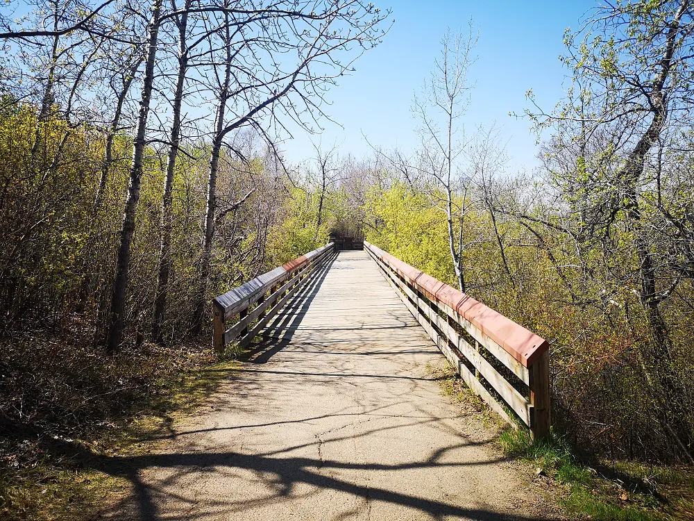
Crossing the boardwalk bridge
8. Once you’re at the road, head left up the trail that curves upwards to connect with the footbridge that allows you to cross the road safely and connect with McNally Park.
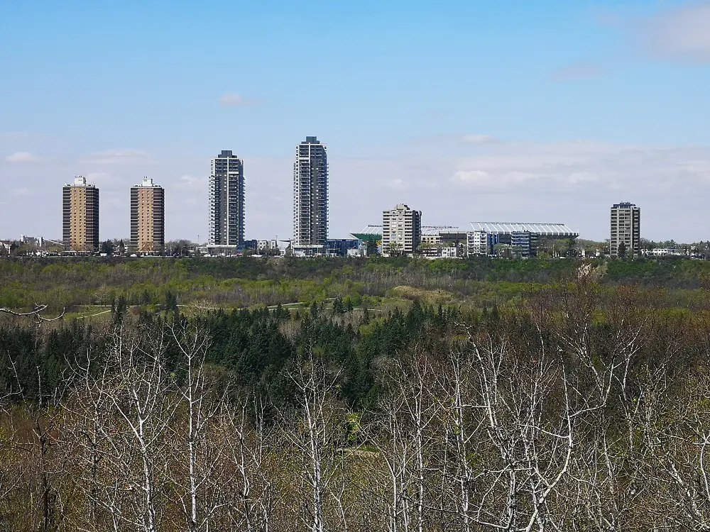
The views open up once you’re at the bank’s top – you can even spot Commonwealth Stadium!
9. Follow the trail as it curves along the top of the riverbank near McNally High School.
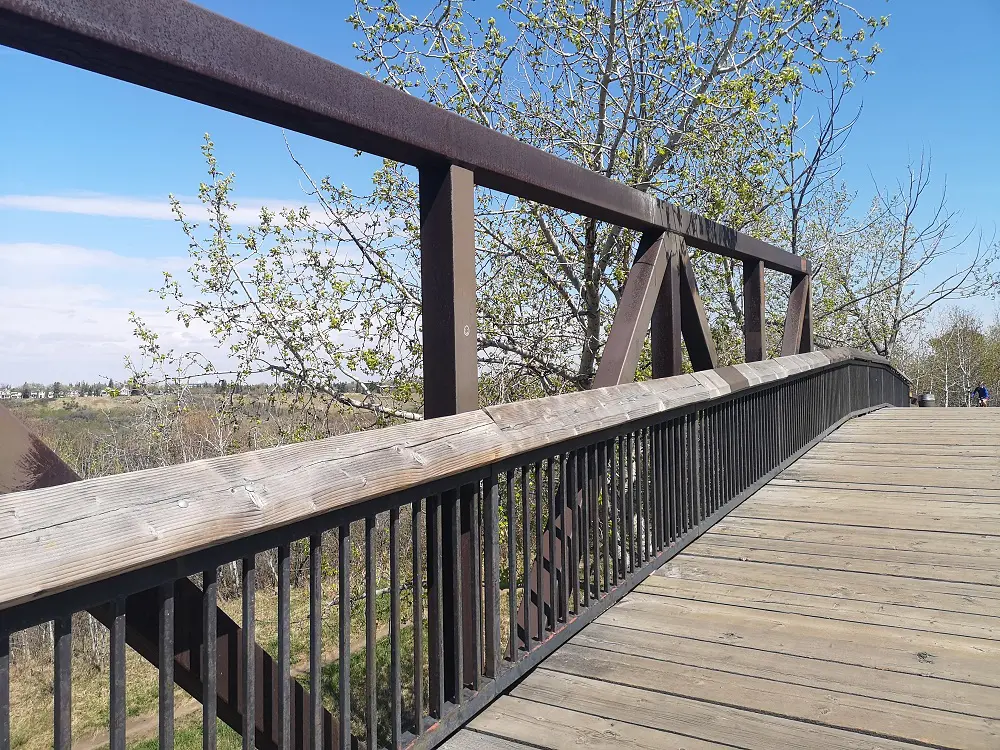
Crossing the footbridge that goes over Rowland Road
10. Eventually, you’ll reach the McNally lookout. There are a few benches to stop and enjoy the expansive views of the downtown skyline, the North Saskatchewan River, Walterdale Bridge and even Commonwealth Stadium.
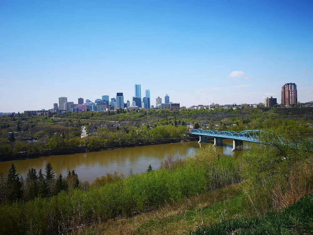
McNally Lookout
11. Either return to Rowland Road and walk down the sidewalk to return to your car, or if you have good shoes, andhere is a well-established single-track adventu good balance, tre trail that curves off from the last bench and takes you directly to the parking lot. Watch out for mountain bikers, as it is a steep path.
Taking the single track down.