
Length: ~ 3 km round trip, 45 minutes to 1 hour
Trail conditions: Moderately flat with some inclines. Paved path and dirt path.
Difficulty: Easy
Bikes: Allowed
Dogs: Allowed on-leash
Parking: Mill Creek Overflow Lot
Mill Creek can be high in spring/June from rain and run-off.
We’ve previously written about a short trail route in the north section of Mill Creek Ravine and a route in the south section of the ravine. In this Trail Trek how-to blog, we’re profiling a longer route on the north side that is great for biking and helps you avoid flooding in the ravine in the spring run-off months.
This section of Mill Creek is on-leash, while the south section has off-leash areas.
As Mill Creek stretches from Gallagher Park to Mill Woods, there are several different routes and access points for trekking the trails; this route features one of many possibilities. This loop begins and ends at the Mill Creek parking lot, taking you around the higher parts of the ravine with a slight dip that runs creek-side and over one of the ravine’s famous red bridges.
DIRECTIONS:
PARKING
For this route, follow Google Maps directions to Mill Creek Outdoor Pool. Park in the north section of the parking lot, as the trail begins there.
ROUTE
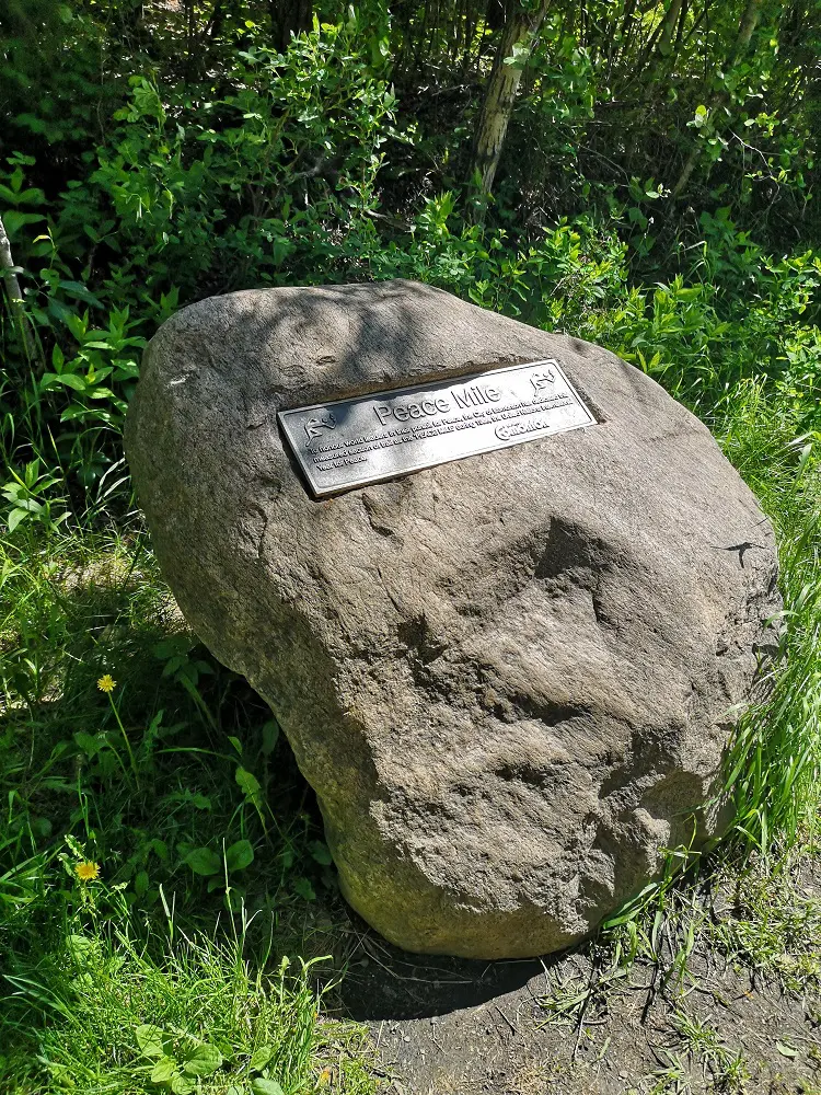
The Peace Mile boulder marker
1. From the outdoor pool parking lot, head north. On Google Maps, you’ll see an icon called the “Peace Mile.” This is where the trail begins. This section of the Mill Creek trail was dedicated to “honour world leaders in their pursuit for Peace during 1986, the United Nations International Year for Peace.”
Hideaway spots along the Peace Mile
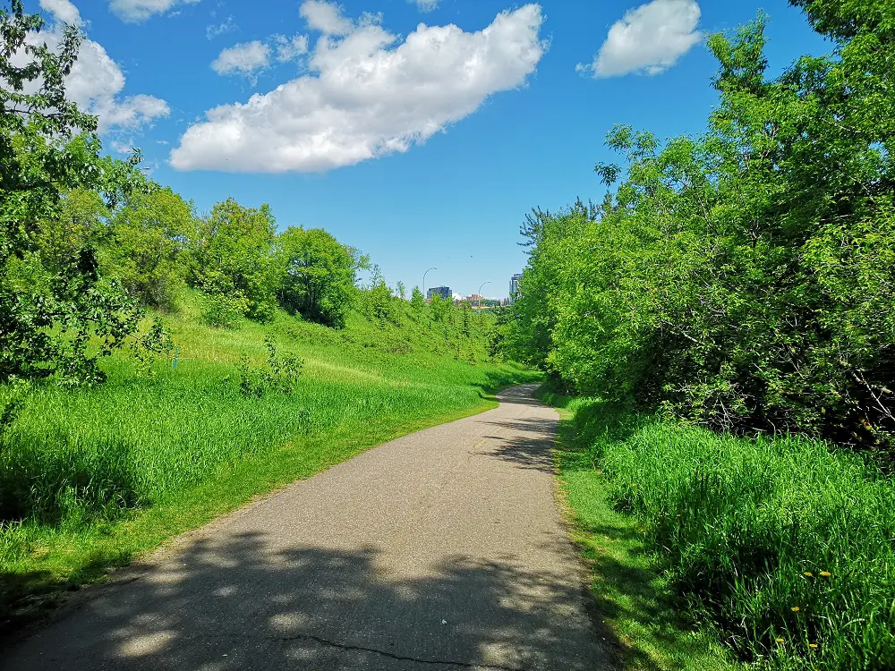
2. The paved path continues north. Enjoy the spring smells, the shade of the trees as you continue, and the babbling of the creek below. Lots of mountain bikers weave in the thick trees just below the trail.
Trail bending by Scona Road.
3. The trail comes to a bend by Scona Road after just over 1 km. Usually, you’d be able to cross the pedestrian bridge to get an excellent lookout view over Muttart Conservatory, but it’s currently closed due to LRT construction. Instead, follow the trail as it ascends a hill and curves southwards.
You can take the trail down the middle of the ravine if it’s later in the season and there’s no flooding
4. If it’s later in the season and there’s no flooding, you can take the first crossroads and walk through the centre of the ravine creekside, but when the water is high, the trail is muddy and impassible. At this time, continue up the hill to take the high trail.
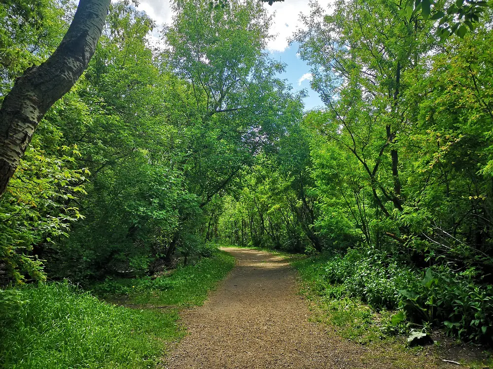
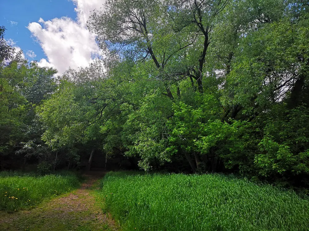
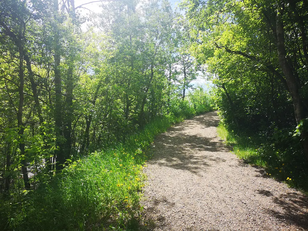
This dirt section of the trail is a peaceful, shady forest.
5. The trail transitions from being paved to dirt here. Continue walking.
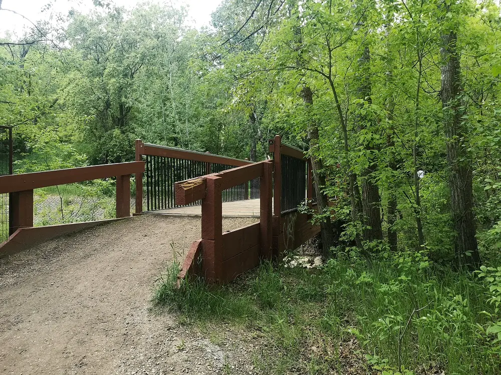
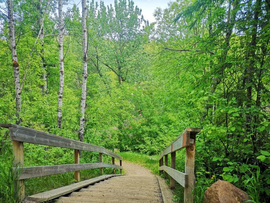
Mill Creek Red Bridge
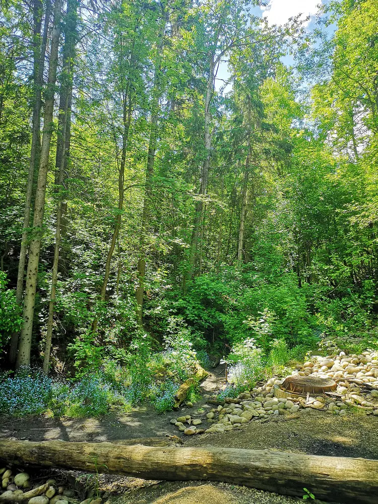
6. At about 2 km, the trail splits. Take the trail that heads downwards into the ravine so you can be creekside. You’ll eventually reach one of the pretty red bridges and cross over the creek.
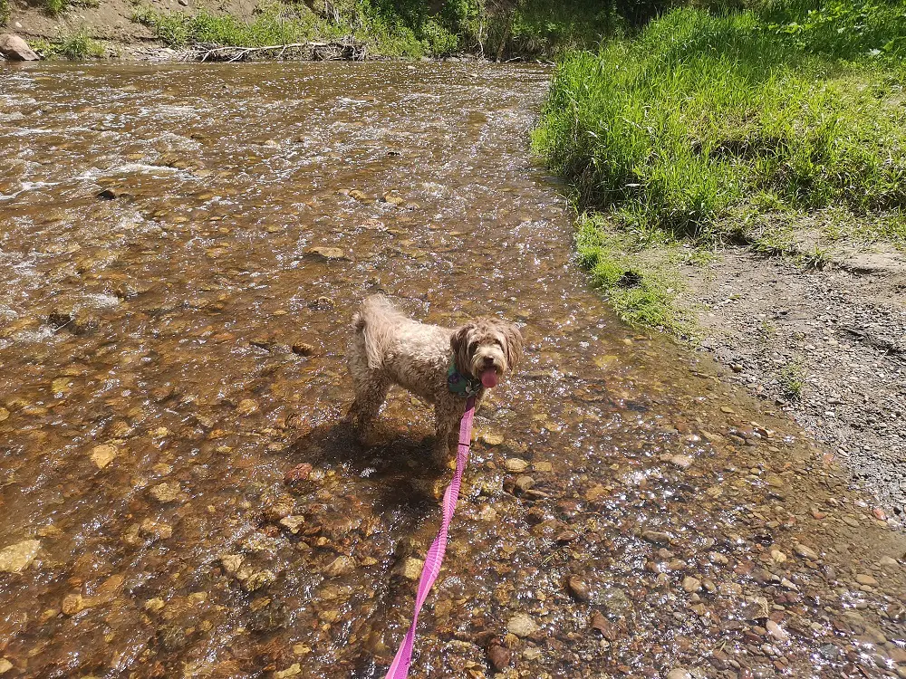
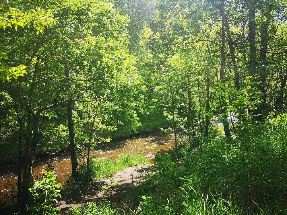
Leashed exploration in the shallow section of Mill Creek is a great, safer alternative for your dog to take a dip on a hot day than the North Saskatchewan River.
7. Walking along the creek, there are a few great spots to stop and have a picnic or let your dog dip.
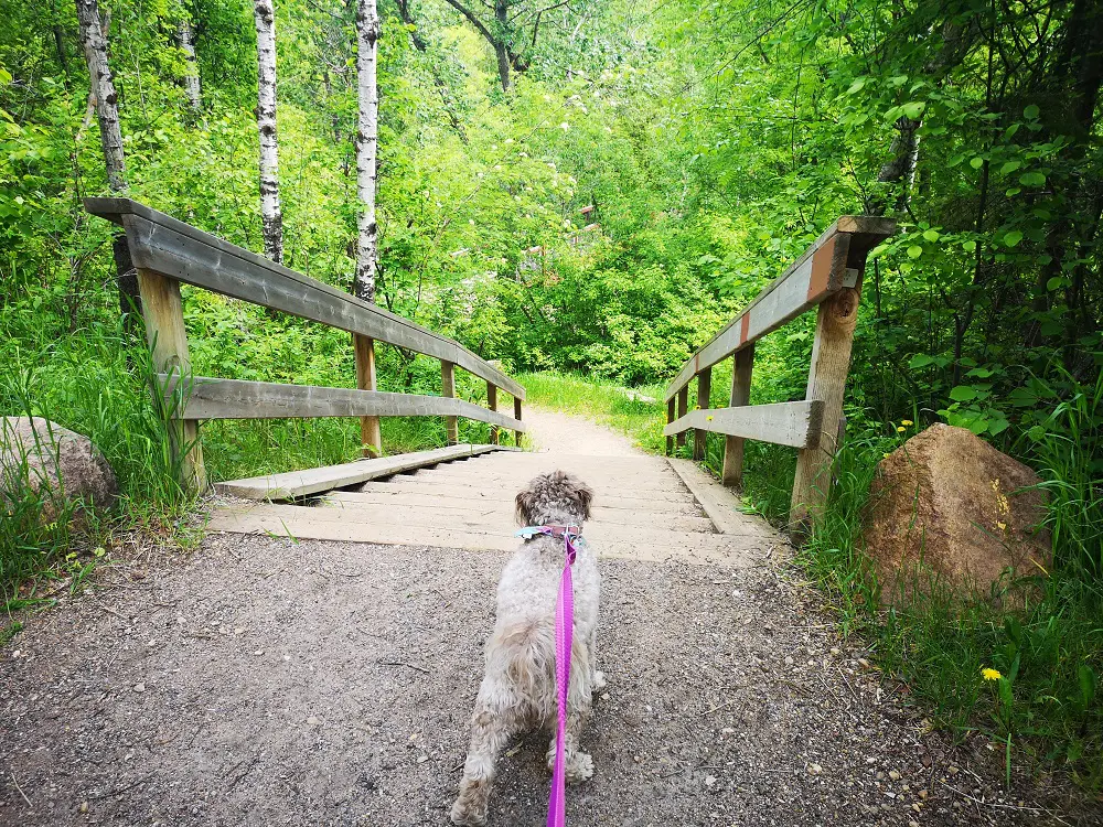
Heading back up to reconnect with the Peace Mile.
8. Eventually, the trail heads eastward to a picnic site and reconnects you with the Peace Mile. You can turn left and return to the parking lot where you started.
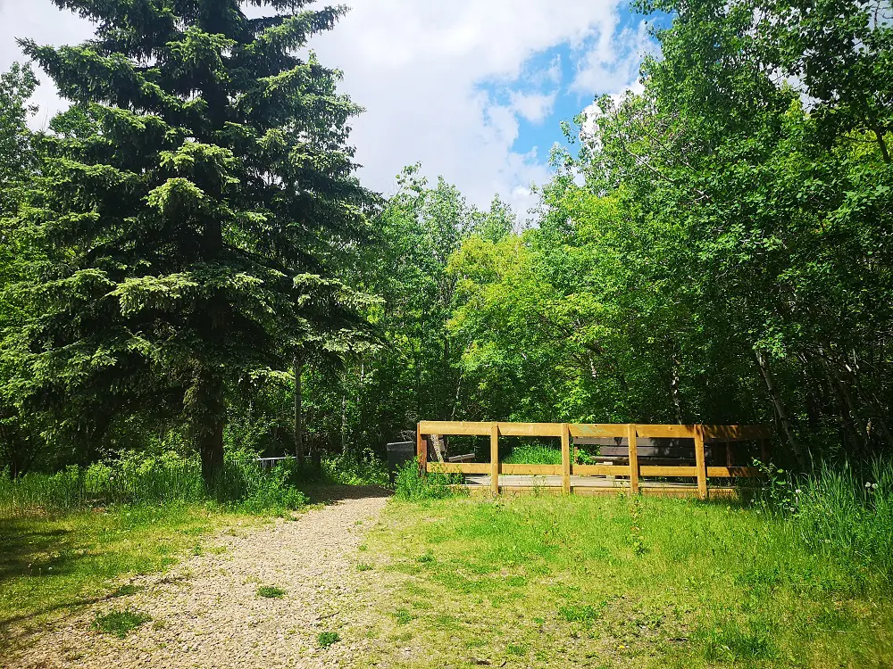
This picnic site indicates you have returned to the Peace Mile trail.
MAPS
Trail Map